
Browse Content

Image
Ancient Near East c.1500-1300 BCE - The Old Hittite Collapse and the Rise of Kassites, Mitanni, and the New Kingdom of Egypt
This map illustrates the geopolitical landscape of the ancient...
Image
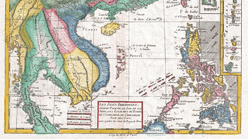
The South China Sea in the 18th Century
A late-18th century map of the South China Sea. Drawn by Rigobert...
Image
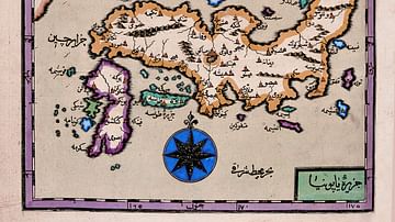
Map of Japan by Katip Çelebi
Map of Japan by Katip Çelebi (d. 1657), geographer of the Ottoman...
Image
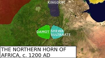
Map of the Zagwe Dynasty
Map featuring the approximate boundaries of the Zagwe Dynasty and...

Image
The Phoenician Expansion c. 11th to 6th centuries BCE
A map illustrating the expansion of the Phoenicians, including...
Image
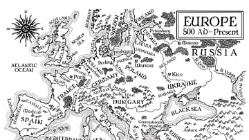
An Illustrated Map of Medieval and Early Modern Europe (From the Novel "The Jericho River")
An illustrated map of medieval and early modern Europe. From the...