
Search
Remove Ads
Advertisement
Search Results

Image
The Byzantine Empire in the mid-9th century CE
A map of the Byzantine Empire, c. 867 CE.

Image
18th-century CE Tobacco Paper
Tobacco paper for Sharpe's Best Virginia, at Fleet Street, London, c. 1725-1775 CE.
British Museum, London.
Image
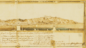
Luanda in the 18th Century
A 1755 illustration of the port of Luanda, capital of the colony of Portuguese Angola and capital of today's Angola. Luanda was one of the major points of assembly for African slaves destined for the Americas.

Image
Athenian Silver Coin, 6th Century BCE
Athenian coin, silver, 550-546 BCE. Minted in the ancient Greek city-state of Athens, this silver coin depicts a Gorgon's head, a symbolic ward against evil also known as a "gorgoneion." On the reverse, not pictured here, is stamped a square...
Image
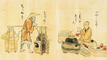
17th-century Japanese Tea Vendors
A print showing Japanese tea vendors. Edo Period, c. 1846, print from a 1632 original. Copied by Kanō Osanobu and Kanō Masanobu. (From Poetry Competition of Artisans, vol.2)

Image
The Korean Peninsula and the Japanese Archipelago, 3rd-6th century CE
Map of Pen/Insular states and potential centres in the 3rd–6th centuries CE.
Image
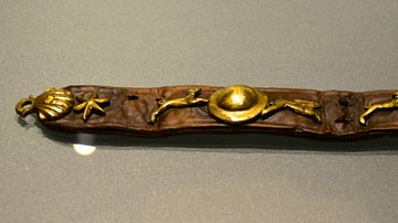
16th-Century Dog Collar
Dog collar found in Amsterdam, dated to 1575-1600.
Rijksmuseum van Oudheden, Leiden.
Image
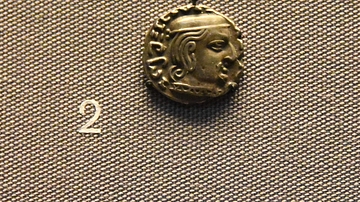
3rd Century CE Indian Coin with Date
In the ancient world, some coins had dates on them. giving us precise information as to when people ruled. These coins are inscribed with dates, so they give fixed points in the chronology of ancient states, to which other evidence can be...
Image
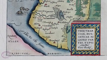
16-century Map of Dithmarshen
Dithmarschen in the Theatrum Orbis Terrarum by Abraham Ortelius, 1570

Image
19th-century Drawing of Weetamoo
Drawing of Weetamoo (l. c. 1635-1676) from page 48 of Frost's Pictorial History of Indian Wars and Captivities by John Frost, 1873.