
Search
Search Results
Article
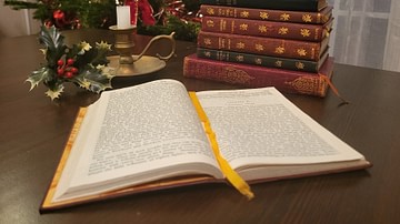
How Christmas Was Shaped by 19th-Century Literature
How we celebrate Christmas today is largely shaped by a small group of authors who recorded festive traditions in the 19th century. These authors include Washington Irving (1783-1859), Clement Clarke Moore (1779-1863), and Charles Dickens...
Interview
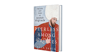
Interview: Peerless among Princes, the Life and Times of Sultan Süleyman by Kaya Şahin
Join World History Encyclopedia as they chat with Kaya Şahin about his new book Peerless among Princes, the Life and Times of Sultan Süleyman, published by Oxford University Press. Kelly: Thank you so much for joining me today. It is a pleasure...
Definition
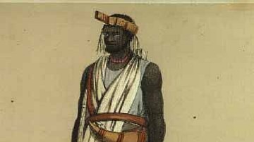
Wolof Empire
The Wolof (aka Jolof or Djolof) Empire was a state on the coast of West Africa, located between the Senegal and Gambia rivers, which thrived from the mid-14th to mid-16th century CE. The empire prospered on trade thanks to the two rivers...

Image
The Silk Road at Its Height in the Late 8th Century
This map illustrates the Silk Road in the late 8th century, a vast network connecting Tang China, Central Asia, the Islamic world, and Europe. More than just a silk route, it enabled the exchange of luxury goods, technologies, and religions...
Image
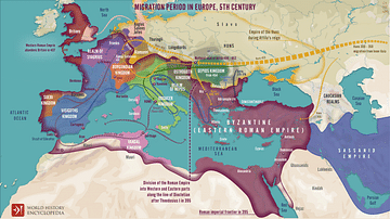
Migration Period in Europe During the 4th & 5th Century
A map illustrating migrations of various peoples across fractured Europe and Western Asia after the division of the Roman Empire at the end of the 4th Century CE.
Image
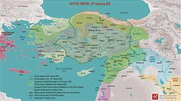
The Hittite Empire, 13th century BCE
A map illustrating the rise and expansion (c. 1750 - 1200 BCE) of the Hittites, ancient Anatolian people who spoke an Indo-European language. At its height around the mid-14th century BCE, the Hittite empire ruled most of Asia Minor from...
Image
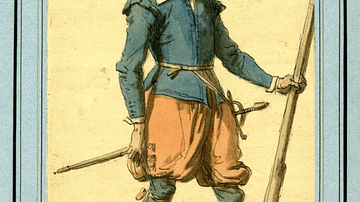
17th-Century Musketeer
A drawing of a typical 17th-century musketeer. Musketeers were a standard component of European infantry armies of the period and particularly during the English Civil Wars (1642-51). Ink and watercolours. Drawn in the 19th century. (British...
Image
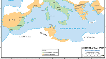
Map of 2nd Century Roman Expansion
A map showing the early expansions of Rome, in the 2nd century BC.
Image
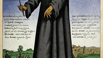
17th-century Depiction of Plague Doctor
A depiction of "Doctor Schnabel" ("Schnabel" is literally German for "Beak"), a plague doctor in Rome. The illustration appeared in a 17th -century German satirical manuscript. The engraving was first published by Paul Fürst (1608–1666...
Image
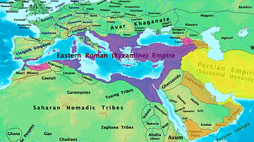
Byzantine & Persian Empires in the 7th Century
A map showing the extent of the Byzantine Empire and the Sasanian Empire in the 7th century.