
Search
Did you mean: Altamira?
Remove Ads
Advertisement
Search Results

Article
Hitler's Occupation of Czechoslovakia
Throughout 1938, Adolf Hitler (1889-1945), the leader of Nazi Germany, threatened to occupy the Sudetenland region of Czechoslovakia. The excuse presented was that Sudeten Germans were being repressed but Hitler...

Article
Seven Notorious Women Pirates
In this article, we look at the lives and deeds of seven notorious women pirates. There is Teuta, the Balkan enemy of ancient Rome; Alwilda, the Scandinavian princess who chose a life of crime on the High Seas; Maria...
Article
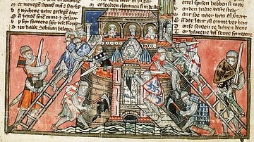
The Siege of Antioch, 1097-98 CE
The siege of Antioch in 1097-1098 CE occurred during the First Crusade (1095-1102 CE) when the western Crusader knights were on their way to retake Jerusalem. The great metropolis of Antioch in northern Syria was...

Image Gallery
A Gallery of Italian Colonialism
The history of Italian colonialism unfolded in a relatively short period, between the late 19th century and the Second World War (1939-45). After the unification of Italy, the young kingdom sought to establish itself...
Image
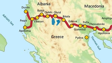
Via Egnatia, 146 BCE to c. 1200 CE
Via Egnatia was a major Roman road in the Balkans, stretching 1,120 kilometers (696 miles) from the Adriatic Sea in the west to the Black Sea and the Sea of Marmara in the east. The western terminus is slightly...
Image
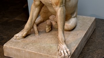
Molossian Hound
The Molossi inhabited ancient Epirus (modern northern Greece and Albania). This dog once wore a collar. Its gaping jaws show powerful teeth, but the relaxed pose and upward gaze give it an obedient air. Five other versions of...
Image
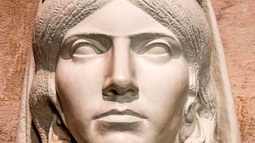
Queen Teuta
A modern bust of Teuta, the 3rd-century BCE queen of the Ardiaei, an Illyrian tribe. Teuta commanded fleets that were accused of piracy by the Romans, who sent a force to defeat her in 229/228 BCE.
Krujë, Albania.
Image
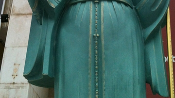
Statue of Queen Teuta
Statue of the Illyrian Queen Teuta (r. 231-227 BCE) and Pinnes in Tirana, Albania

Image
Via Egnatia in Philippi
A stretch of the Via Egnatia in Philippi (Greece). The Via Egnatia crossed the Roman provinces of Illyricum, Macedonia, and Thrace, running through territory that is now part of modern Albania, the Republic of Macedonia...

Image
Roman Opus Mixtum Wall
A segment of typical 2nd century CE Roman wall from Butrint (modern Albania). The wall is in the opus mixtum style which combined layers of opus testaceum (standard brick facing) with opus reticulatum (square-based pyramid...
