Search
Search Results
Image
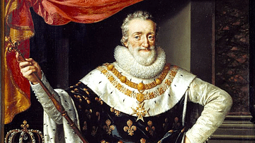
Henry IV of France
A c. 1600 portrait of Henry IV of France. (r. 1589-1610). Painted by Frans Pourbus the Younger.
Image
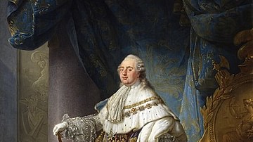
King Louis XVI of France in Grand Royal Costume, 1779
Louis XVI, king of France and Navarre, wearing his grand royal costume in 1779, oil on canvas by Antoine-François Callet, 1789.
Palace of Versailles.
Image
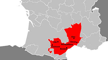
Languedoc Region of France
A map showing the area of the Languedoc region of southern France and its major towns.
Image
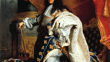
Portrait of Louis XIV of France
A c. 1700 portrait by Hyacinthe Rigaud of Louis XIV of France (r. 1643-1715). (Louvre Museum, Paris)

Image
Burned-down House in Oradour-sur-Glane, France
This photo shows a burned-down house in Oradour-sur-Glane, France. After the massacre of 643 civilians by the SS 2nd panzer das Reich division on 10 June 1944, the whole village was set ablaze. As early as 28 November 1944, the Provisional...
Image
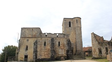
Church of Oradour-sur-Glane, France
The church of Oradour-sur-Glane where 349 women, as well as all but one of the children present that day in the village, were cruelly murdered on 10 June 1944 by soldiers of the Waffen SS Das Reich division. The Oradour-sur-Glane Massacre...
Image
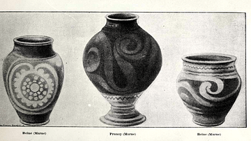
Celtic Pottery Vessels, Marne, France
Three Celtic pottery vessels from La Marne, France. They shows typical Celtic design features with their curvilinear shapes and decoration. 4th century BCE. (British Museum, London)
Image
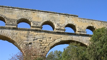
Arches, Pont Du Gard, France
A detail of the Pont Du Gard Roman aqueduct, 1st century CE, Southern France.

Image
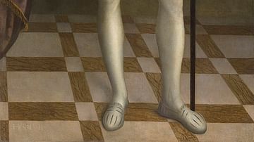
Henry III of France
Henry III of France (r. 1574-1589), oil on canvas by Nicholas Hilliard, c. 1576-78.
Private Collection.
Image
Henry II of France
Henry II of France (r. 1547-1559), oil on canvas by the workshop of François Clouet.
Castle of Montal.