
Search
Search Results
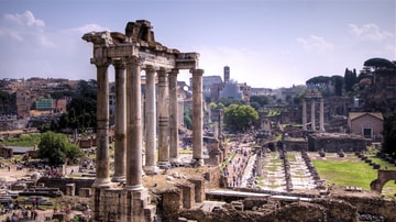
Interview
Interview with Greg Woolf
Join World History Encyclopedia as they talk to author and professor Greg Woolf all about his book Rome: An Empire's Story, Second Edition, published by Oxford University Press. Kelly (WHE): Do you want to just tell everyone what the book...
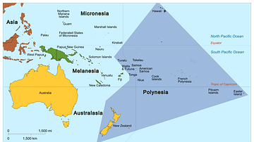
Image
Map of Polynesia
Map showing the Polynesian Triangle and some of its islands.

Image
Scythian Territorial Expanse, c. 700-300 BCE
This map illustrates the westward expansion of the warrior-nomad Scythians between the 7th and 3rd century BCE across Asia and Europe. Originating in the Central Asian steppes, they spread into the Pontic region, shaping regional power dynamics...
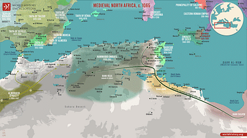
Image
Map of Medieval North Africa, c. 1065
This map illustrates the geopolitical situation in North Africa and the Western Mediterranean in 1065 as the region faced a crucial turning point, setting the stage for monumental political realignments. The Hammadid dynasty, having split...
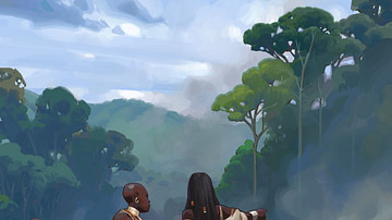
Image
Bantu Farmers
This artist's illustration shows Bantu farmers using slash-and-burn agriculture to clear arable land. Created by Amplitude Studios for the video game Humankind.
Image
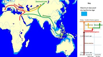
Spread and Evolution of Denisovans
Map showing a possible scenario of the spread and evolution of Denisovans. On the right, it shows that Homo sapiens shares a common ancestor with the Neanderthals and Denisovans, who are sister species. There is evidence of interbreeding...
Image
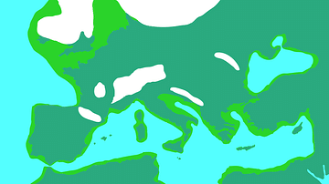
Europe During the Last Glacial Maximum
Europe during the most recent glacial, in which the ice sheets reached peak growth between c. 26.500 to c. 19,000 years ago. This is known as the Last Glacial Maximum. Sea levels were lower than today.
Image
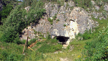
Denisova Cave
Denisova Cave in the Altai Mountains in Siberia, Russia. It is well known for human occupation stretching back as far as 280,000 years ago and shows signs of occupation by Neanderthals, Homo sapiens and Denisovans. All currently known Denisovan...
Image
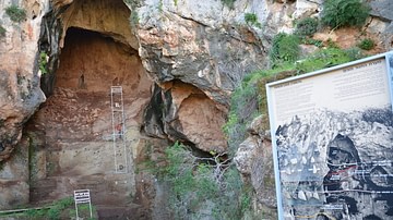
Tabun Cave
Tabun Cave in Israel, which is associated with (among others) Neanderthal remains and tools.
Image
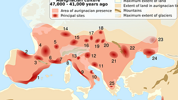
Aurignacian Sites
Map showing sites and presence associated with the Aurignacian culture, usually attributed to the first modern humans who arrived in Europe around 45,000 years ago.