Search
Search Results

Collection
Ancient China: Geography, Economy & Trade
Ancient China was often connected to the rest of the world through trade, not only along the famous Silk Road but also via merchant ships that sailed the Indian Ocean, connecting East Asia to the Middle East, Europe, and Africa. Silk, paper...

Lesson Pack
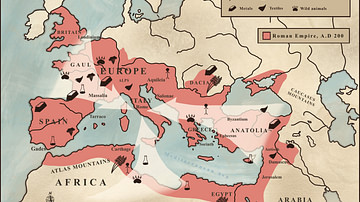
Roman Economy & Trade
We have prepared three lesson plans including classroom activities, assignments, homework, and keys as well as: - Glossary of keywords and concepts in an excel format - Open questions adaptable for debates, presentations, and essays...

Definition
Portuguese Malacca
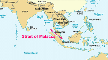
The Portuguese colonised Malacca (modern Melaka) on the southwest coast of the Malay peninsula from 1511 and kept it until 1641 when the Dutch took over. The port controlled the Malay Straits which lead from the Indian Ocean (the Andaman...

Image
Map of the Hanseatic League Trade Network, c. 1400
The Hanseatic League (c. 13th–17th centuries) was a powerful network of merchant guilds and cities that dominated trade across northern Europe for centuries. Emerging in the late Middle Ages, the League united towns from Lübeck, Hamburg...

Article
Roman Expeditions in Sub-Saharan Africa
Sub-Saharan Africa was explored by Roman expeditions between 19 BCE - 90 CE, most likely in an effort to locate the sources of valuable trade goods and establish routes to bring them to the seaports on the coast of North Africa, thereby minimizing...

Definition
Portuguese Angola
Portuguese Angola in southwest Africa was the first European colony on that continent. While settlement from 1571 proved problematic in the interior, the Portuguese did obtain a large number of slaves which they shipped to their Atlantic...

Definition
Periplus of the Erythraean Sea
The Periplus of the Erythraean Sea is an eyewitness account of ancient travel to Africa and India via the Red Sea written by an unknown Greek-speaking Egyptian author in the 1st century CE. In this detailed account, the conditions of the...

Definition
Henry Hudson
Henry Hudson (c. 1570-1611) was an English navigator and maritime explorer. He is known for his four voyages between 1607 and 1610 in search of a northwest passage via the Arctic Ocean to the Far East. The lure of a northwest passage became...

Article
The Camel Caravans of the Ancient Sahara
The camel caravans which crossed the great dunes of the Sahara desert began in antiquity but reached their golden period from the 9th century CE onwards. In their heyday caravans consisted of thousands of camels travelling from North Africa...

Definition
Portuguese Nagasaki
Nagasaki, on the northwest coast of Japan’s Kyushu Island, was an important Portuguese trading base from c. 1571 to 1639, and the most eastern outpost of the Portuguese empire. The Portuguese presence transformed Nagasaki from a small fishing...