
Search
Search Results

Image
Map of the Ming Dynasty Territory
A map indicating the territory controlled by the Ming Dynasty (1368 to 1644 CE) in the late 16th century CE.
Image
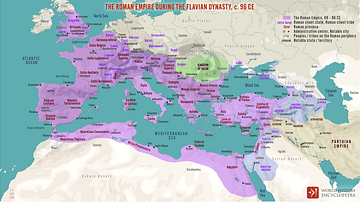
The Roman Empire during the Flavian Dynasty, 69 - 96 CE
A map illustrating the territorial extent and political boundaries of the Roman Empire during the Flavian Dynasty, around 96 CE. Although a short-lived sequence of reigns from Vespasian (69 - 79 CE) through Titus (79 – 81 CE), until Domitian...
Image
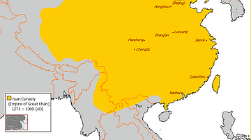
Map of Yuan Dynasty China
A map indicating the territory of the Mongol Yuan dynasty of China (1271-1368 CE).
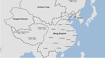
Image
Ming Dynasty Empire, c. 1409 CE
The Ming Dynasty Empire (1368-1644 CE) at the time of the Yongle Emperor (aka Chengzu r. 1403-1424 CE).

Image
Palace Scene in Zhou Dynasty China
Artist's impression of a palace scene in Zhou Dynasty China. Created by Amplitude Studios for the video game Humankind.
Image
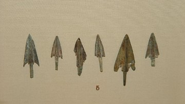
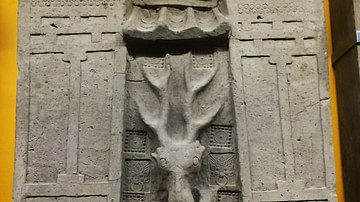
Shang Dynasty Arrowheads
Bronze arrowheads from Shang dynasty China. 1200-1050 BCE. (British Museum, London)
Image
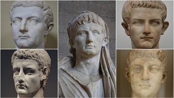
The Julio-Claudian Dynasty
The five Roman emperors of the Julio-Claudian dynasty. These were: Augustus (r. 27 BCE - 14 CE) - centre photo Tiberius (r. 14-37 CE) - top left Caligula (r. 37-41 CE) - top right Claudius (r. 41-54 CE) - bottom left Nero (r. 54-68...
Image
Tomb Entrance from Han Dynasty China
Until about the 2nd century BCE, Chinese tombs featured chambers made of heavy wooden logs. Thereafter, tombs were made of stone and brick. This stone-made example from the Han Dynasty (206 BCE-220 CE) makes clear that the tombs of the wealthy...
Image
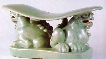
Celadon lion Pillow, Goryeo Dynasty
A celadon pillow in the form of two lions. 12th century CE, Goryeo Dynasty, Korea. (Leeum, Samsung Museum of Art, Seoul, South Korea)
Image
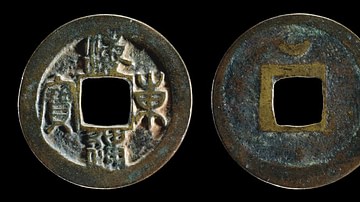
Bronze Korean Coin, Goryeo Dynasty
A bronze coin of the Korean Goryeo Dynasty, 1097-1105.
The legend reads: Haedong tongbo meaning 'Coin of the Land East of the Sea' (Korea).
The British Musem, London.