Search
Search Results
Image
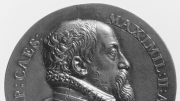
Maximilian II, Holy Roman Emperor
Depiction of Holy Roman Emperor Maximilian II (r. 1564-1567 CE) on a medal created by Antonio Abondio, 1575 CE. From the collection of the Metropolitan Museum of Art in New York, United States
Image
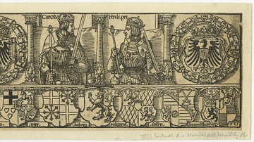
Holy Roman Emperors Charles V & Ferdinand I
Illustration of the Holy Roman Emperor Charles V (r. 1519-1556 CE) and Ferdinand I. The illustration depicts the Habsburg brothers Charles V (left) sitting by the imperial coat of arms, while Ferdinand (right) is flanked by the Habsburg coat...
Definition
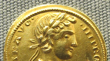
Frederick II
Frederick II (l. 1194-1250 CE) was the king of Sicily (r. 1198-1250 CE), Germany (r. 1215-1250 CE), Jerusalem (r. 1225-1228 CE), and also reigned supreme as the Holy Roman Emperor (r. 1220-1250 CE). He was born in Jesi in 1194 CE but spent...
Article
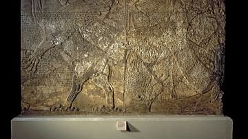
Lugalbanda and the Anzud Bird
Lugalbanda and the Anzud Bird is a Sumerian myth dated to the Ur III Period (2047-1750 BCE) featuring the hero-king of Uruk, Lugalbanda, father of Gilgamesh, in his younger years as an honorable officer in the army. Lugalbanda's purity of...
Image
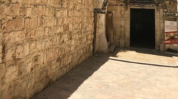
Ancient Walls Surrounding Church of the Holy Sepulchre
The site of the Church of the Holy Sepulchre in Jerusalem is identified as the place both of the crucifixion and the tomb of Jesus of Nazareth. Despite the mutilations of the centuries, the Holy Sepulchre remains a fascinating complex of...
Image
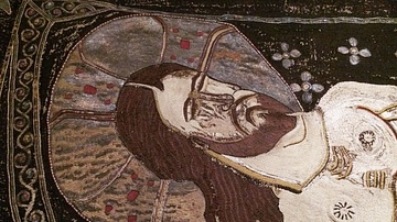
Detail of a Holy Shroud from Georgia
Made of silk fabric, gold and silver thread, gold and silk twine, as well as colored silks, this holy shroud or "epitaphios" comes from the Sachkhere, which is located in western Georgia, and dates from the 14th century CE. A donor-renovator's...
Image
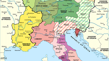
Map of the Holy Roman Empire, 972-1032 CE
Map of the Holy Roman Empire depicting its boundaries under the rule of Otto I in 972 CE and Conrad II in 1032 CE.
Image
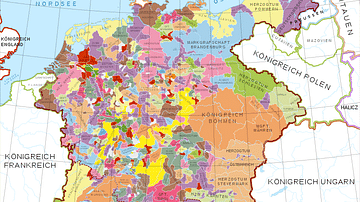
Holy Roman Empire in the 13th century CE
A map in German of central Europe during the time of the Hohenstaufen Emperors, primarily showing the territories of the Holy Roman Empire and the Kingdom of Sicily. The map is a vectorised version of this map from Professor G. Droysens...
Image
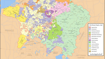
Map of the Holy Roman Empire, 1648 CE
Map of the Holy Roman Empire depicting its boundaries following the Peace of Westphalia in 1648 CE.
Image
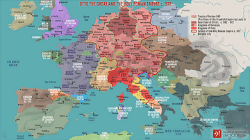
Otto the Great and the Holy Roman Empire c. 972
A map illustrating the emergence of the Holy Roman Empire (after the final split of the Eastern and Western Franks in the late 9th century) as a loosely integrated union of German states and cities under the rule of Otto I, driven by tradition...