Search
Search Results
Image
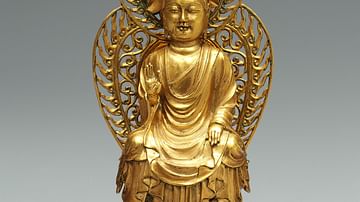
Unified Silla Kingdom Gold Buddha
A gold Buddha statuette from the Unified Silla Kingdom (668-918 CE), Korea. From a stone pagoda at the Hwangbok-sa temple site, Gyeongju before 706 CE. Height 12.5 cm (National Museum of Korea, Seoul, South Korea)
Image
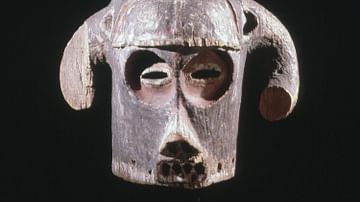
Horned Mask, Luba Kingdom
A wooden horned mask of the Kingdom of Luba (15-19th century CE), central Africa. Height: 47 cm. (British Museum, London)
Image
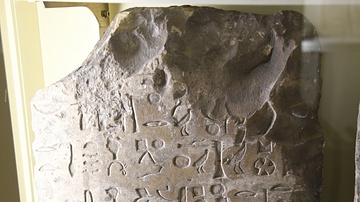
Stela of Hesu from the Old Kingdom of Egypt
This limestone stela bears a sunk relief of a man. The man is standing and right-facing; he holds staves. At the lower right corner, a smaller scale figure of woman appears; she wears a a long dress and holds a lotus. The hieroglyphic inscriptions...
Image
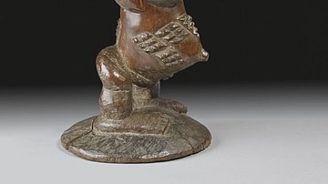
Carved Stool, Luba Kingdom
A carved wooden stool in the form of a figure from the Kingdom of Luba (15-19th century CE), central Africa. Height: 42.5 cm. (British Museum, London)
Image
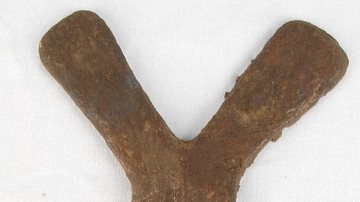
Copper Curency Ingot, Luba Kingdom
A copper cross used as a currency by such central African states as the Kingdom of Luba (15-19th century CE). Height: 19.5 cm. (British Museum, London)

Image
Buddhist Stele, Unified Silla Kingdom
A soapstone Buddhist stele from the Unified Silla Kingdom of Korea. From the Piamsa Temple. The scene depicts Buddha and disciples with apsaras looking on. Height: 40 cm, c. 673 CE. (National Museum of Korea, Seoul, South Korea)

Image
Map of the Kingdom of Zimbabwe
A map indicating the approximate territory of the ancient Kingdom of Zimbabwe (in modern Zimbabwe) and its capital Great Zimbabwe. The kingdom flourished between c. 1300 and c. 1450 CE.
Image
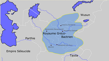
Greco-Bactrian kingdom circa 230-200 BC
Approximate borders of the Greco-Bactrian kingdom under Euthydemos' reign (c.230BC - c.200BC). The kingdom included Bactria, Oxeiana, Sogdiana and Ferghana.
Image
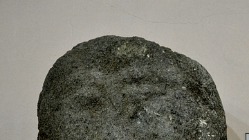
Head of a Bearded Man from the Musasir Kingdom
This is the upper part of a sandstone statue which was found near Rowanduz village, modern Sulaimaniya Governorate, Iraq. The lack of inscriptions on this statue make it difficult to determine who this bearded man was. The statue is from...
Image
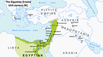
Map of the New Kingdom of Egypt, 1450 BCE
A map showing the maximum territorial extent of the New Kingdom of Egypt, ca. 1450 BCE.