Illustration
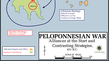
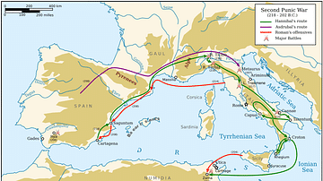
This map shows Greece, Asia Minor and Sicily during the Peloponnesian Wars. The main powers of Athens, Sparta and their allies, as well as Achaemenid Persia and neutral states, are highlighted. Key battles are indicated by an X and military campaigns are indicated as arrows.
About the Author
References
World History Encyclopedia is an Amazon Associate and earns a commission on qualifying book purchases.Cite This Work
APA Style
Roza, E. S. D. (2020, April 15). Map of the Peloponnesian Wars (431-404 BCE). World History Encyclopedia. Retrieved from https://www.worldhistory.org/image/12079/map-of-the-peloponnesian-wars-431-404-bce/
Chicago Style
Roza, Evonne Stella De. "Map of the Peloponnesian Wars (431-404 BCE)." World History Encyclopedia. Last modified April 15, 2020. https://www.worldhistory.org/image/12079/map-of-the-peloponnesian-wars-431-404-bce/.
MLA Style
Roza, Evonne Stella De. "Map of the Peloponnesian Wars (431-404 BCE)." World History Encyclopedia. World History Encyclopedia, 15 Apr 2020, https://www.worldhistory.org/image/12079/map-of-the-peloponnesian-wars-431-404-bce/. Web. 18 Apr 2025.

