
Illustration


Map showing the general layout of the central city area of the 18th Dynasty Egyptian city "Akhetaten", presently known as Tell el-Amarna, constructed by the Pharaoh Akhenaten between 1347 and 1332 BCE.
Copyright, republished with permission from the author.
Related Images
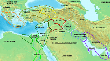
Map of the ancient Near East during the Amarna Period

Map of the Third Intermediate Period
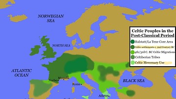
Map of Celtic Peoples in the Post-Classical Period
Egypt in the Early Hyksos Period
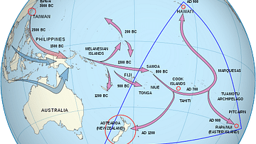
Polynesian Migration Map
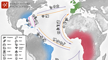
Transatlantic Triangular Trade Map
Cite This Work
APA Style
Project, P. /. A. (2020, May 19). Map of Amarna, Egypt. World History Encyclopedia. Retrieved from https://www.worldhistory.org/image/12167/map-of-amarna-egypt/
Chicago Style
Project, P.S.Docherty / Amarna3D. "Map of Amarna, Egypt." World History Encyclopedia. Last modified May 19, 2020. https://www.worldhistory.org/image/12167/map-of-amarna-egypt/.
MLA Style
Project, P.S.Docherty / Amarna3D. "Map of Amarna, Egypt." World History Encyclopedia. World History Encyclopedia, 19 May 2020. Web. 15 Apr 2025.