
Illustration


Map of the Fertile Crescent, a region stretching in a quarter-moon shape from Mesopotamia down through the Levant. The region is bordered by the Persian Gulf and Zagros Mountains to the east, Taurus Mountains to the north, Mediterranean sea to the west, and Syrian Desert to the South.
This region is often referred to as the Cradle of Civilization. Six of these civilizations are featured on the map, covering a span of time from c. 4100 BCE to 70 CE.
About the Author

Related Images
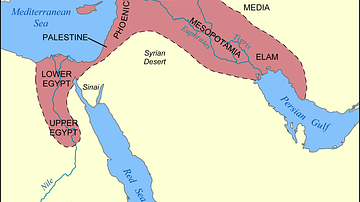
Map of the Fertile Crescent

Map of the Fertile Crescent
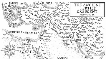
A Map of the Ancient Fertile Crescent (From the Novel The Jericho River)
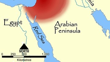
Map of the Levant
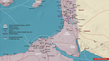
Roman Rule in the Levant, c. 200 CE
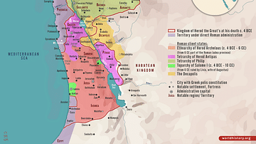
Herodian Tetrarchy in the Levant, c. 5 CE
Cite This Work
APA Style
Goodman, P. (2021, March 05). Fertile Crescent Map. World History Encyclopedia. Retrieved from https://www.worldhistory.org/image/13559/fertile-crescent-map/
Chicago Style
Goodman, Patrick. "Fertile Crescent Map." World History Encyclopedia. Last modified March 05, 2021. https://www.worldhistory.org/image/13559/fertile-crescent-map/.
MLA Style
Goodman, Patrick. "Fertile Crescent Map." World History Encyclopedia. World History Encyclopedia, 05 Mar 2021. Web. 11 Apr 2025.