Illustration
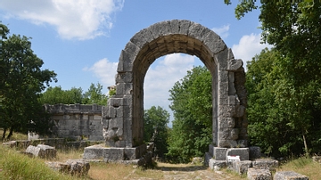
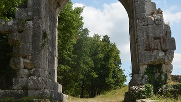
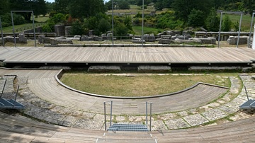
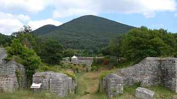
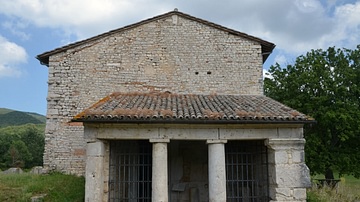
The Via Flaminia is the second oldest Roman road after Rome’s Via Appia. It was a consular road, funded by the state, and built c. 220 BCE to link Rome with the northern coastal city of Ariminum (Rimini) over the Apennine Mountains. The Via Flaminia went through the town of Carsulae (north–south axis) and became the main road or the cardo maximus of which 400 metres are still visible.
About the Author
Cite This Work
APA Style
Raddato, C. (2021, May 14). Via Flaminia at Carsulae, Italy. World History Encyclopedia. Retrieved from https://www.worldhistory.org/image/14028/via-flaminia-at-carsulae-italy/
Chicago Style
Raddato, Carole. "Via Flaminia at Carsulae, Italy." World History Encyclopedia. Last modified May 14, 2021. https://www.worldhistory.org/image/14028/via-flaminia-at-carsulae-italy/.
MLA Style
Raddato, Carole. "Via Flaminia at Carsulae, Italy." World History Encyclopedia. World History Encyclopedia, 14 May 2021. Web. 15 Apr 2025.


