Illustration
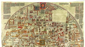
Map of Great Britain by Matthew Paris (c. 1199-1259), made c. 1250. From the manuscript Epitome of Chronicles, BL Cotton MS Claudius D VI, fol. 12v. (British Library)
Cite This Work
APA Style
Paris, M. (2021, May 30). Matthew Paris' Map of Britain. World History Encyclopedia. Retrieved from https://www.worldhistory.org/image/14133/matthew-paris-map-of-britain/
Chicago Style
Paris, Matthew. "Matthew Paris' Map of Britain." World History Encyclopedia. Last modified May 30, 2021. https://www.worldhistory.org/image/14133/matthew-paris-map-of-britain/.
MLA Style
Paris, Matthew. "Matthew Paris' Map of Britain." World History Encyclopedia. World History Encyclopedia, 30 May 2021, https://www.worldhistory.org/image/14133/matthew-paris-map-of-britain/. Web. 06 May 2025.


