
Illustration


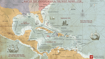
A map illustrating the routes of the Treasure Fleet (the New Spain and the Terra Firma Fleet) alongside the Spanish Main (the parts of the Spanish Empire on the mainland of the Americas with coastlines on the Caribbean Sea and the Gulf of Mexico) and the islands in the Caribbean (Spanish West Indies). It also depicts the most notorious havens of the buccaneers and pirates that prayed on merchant shipping and the flow of Spanish treasure from the region.
About the Author

Related Images
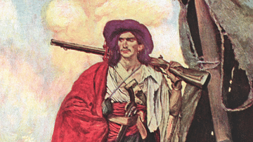
A Buccaneer by Howard Pyle
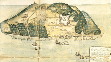
17th Century Tortuga
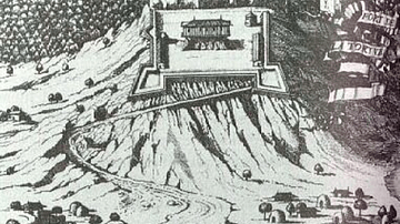
Vasseur's Fortress, Tortuga
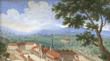
Abbey of Port-Royal-des-Champs

Destruction of the French Fleet at Toulon
The Spanish Main & the West Indies c.1720
Cite This Work
APA Style
Netchev, S. (2021, September 01). The Spanish Main and Caribbean Pirate Havens c. 1670. World History Encyclopedia. Retrieved from https://www.worldhistory.org/image/14550/the-spanish-main-and-caribbean-pirate-havens--c-16/
Chicago Style
Netchev, Simeon. "The Spanish Main and Caribbean Pirate Havens c. 1670." World History Encyclopedia. Last modified September 01, 2021. https://www.worldhistory.org/image/14550/the-spanish-main-and-caribbean-pirate-havens--c-16/.
MLA Style
Netchev, Simeon. "The Spanish Main and Caribbean Pirate Havens c. 1670." World History Encyclopedia. World History Encyclopedia, 01 Sep 2021, https://www.worldhistory.org/image/14550/the-spanish-main-and-caribbean-pirate-havens--c-16/. Web. 18 Apr 2025.