Illustration
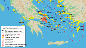
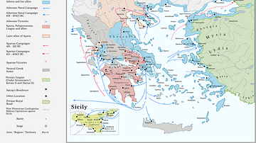
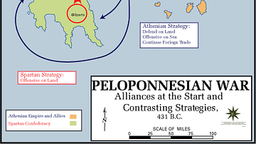
A map illustrating the city-states of Classical Greece around 500 BCE and depicting the expansion of Hellenic influence along the coasts of the Mediterranean and Black sea and the formation and scope of the Delian League, under Athenian hegemony, against the Persian Empire.
About the Author
Cite This Work
APA Style
Netchev, S. (2021, September 15). The Greek City-states c. 500 BCE. World History Encyclopedia. Retrieved from https://www.worldhistory.org/image/14624/the-greek-city-states-c-500-bce/
Chicago Style
Netchev, Simeon. "The Greek City-states c. 500 BCE." World History Encyclopedia. Last modified September 15, 2021. https://www.worldhistory.org/image/14624/the-greek-city-states-c-500-bce/.
MLA Style
Netchev, Simeon. "The Greek City-states c. 500 BCE." World History Encyclopedia. World History Encyclopedia, 15 Sep 2021. Web. 12 Apr 2025.


