Illustration
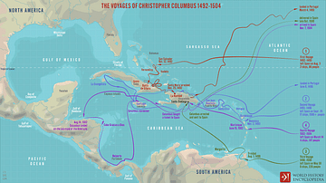
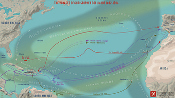
A map depicting the two transatlantic voyages of Amerigo Vespucci between 1499 and 1502.
It is based on the 1507 map by Martin Waldseemüller, a German clergyman and cartographer, which first referred to the southern hemisphere where Amerigo Vespucci landed in 1501 as America. Waldseemüller and his collaborator Matthias Ringmann gave their Introduction to Cosmography an accompanying world map and a printed globe and so were the first to position America as a continent separated from Asia by an unknown ocean.
About the Author
Cite This Work
APA Style
Netchev, S. (2021, October 18). Amerigo Vespucci's Voyages between 1499-1502. World History Encyclopedia. Retrieved from https://www.worldhistory.org/image/14710/amerigo-vespuccis-voyages-between-1499-1502/
Chicago Style
Netchev, Simeon. "Amerigo Vespucci's Voyages between 1499-1502." World History Encyclopedia. Last modified October 18, 2021. https://www.worldhistory.org/image/14710/amerigo-vespuccis-voyages-between-1499-1502/.
MLA Style
Netchev, Simeon. "Amerigo Vespucci's Voyages between 1499-1502." World History Encyclopedia. World History Encyclopedia, 18 Oct 2021, https://www.worldhistory.org/image/14710/amerigo-vespuccis-voyages-between-1499-1502/. Web. 17 Apr 2025.


