
Illustration


This map captures the shifting tides of colonial power in the 1700s, focusing on the strategic coastlines of the Caribbean Sea and the Gulf of Mexico. Once dominated by Spain, this region—known as the Spanish Main and the West Indies—became a battleground of influence among the Spanish, English, and French empires, as trade, piracy, and military conflict reshaped control of its lucrative ports and sea lanes.
The map also traces the intricate routes of the Spanish Treasure Fleets, which carried silver, gold, and goods from the New World to Europe. These heavily guarded convoys followed precise maritime corridors to minimize risk from storms and privateers. Their movements not only defined transatlantic commerce but also catalyzed European rivalries, fueling wars and alliances that would forever alter the colonial map of the Americas.
About the Author

Related Images

The Spanish Main and Caribbean Pirate Havens c. 1670

Woodes Rogers, Governor of the Bahamas

Spanish Colonial Empire in the Age of Exploration
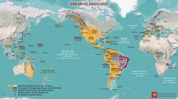
Spain and the Spanish Indies

Viceroyalty of New Spain, c. 1800

Antarctica: Discovery & Exploration - Mapping the Paths of Explorers Through a Continent of Ice
Cite This Work
APA Style
Netchev, S. (2021, November 02). Spanish Main & West Indies c.1720. World History Encyclopedia. Retrieved from https://www.worldhistory.org/image/14784/spanish-main--west-indies-c1720/
Chicago Style
Netchev, Simeon. "Spanish Main & West Indies c.1720." World History Encyclopedia. Last modified November 02, 2021. https://www.worldhistory.org/image/14784/spanish-main--west-indies-c1720/.
MLA Style
Netchev, Simeon. "Spanish Main & West Indies c.1720." World History Encyclopedia. World History Encyclopedia, 02 Nov 2021, https://www.worldhistory.org/image/14784/spanish-main--west-indies-c1720/. Web. 25 Apr 2025.