
Illustration


A map illustrating the changing balance of colonial power among the Spanish, English, and French Empires in the 1700s along the coastlines of the Americas, specifically in the Caribbean Sea and the Gulf of Mexico. This region, referred to as the Spanish Main and the West Indies, witnessed significant shifts in dominance. Additionally, the map depicts the trade patterns and routes followed by the Spanish Treasure Fleets, offering insights into the flow of commerce during that era.
About the Author

Related Images
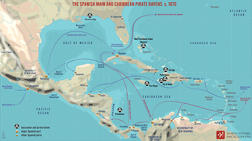
The Spanish Main and Caribbean Pirate Havens c. 1670
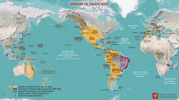
Spain and the Spanish Indies

Dancing Scene in the Caribbean
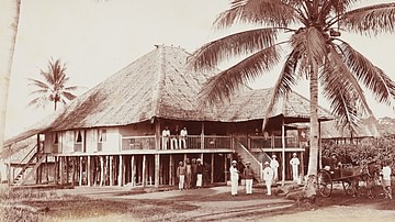
Maryland, Dutch East Indies
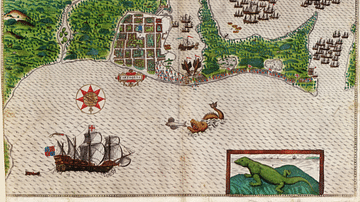
Cartagena on the Spanish Main
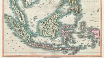
Map of the East Indies and Southeast Asia
Cite This Work
APA Style
Netchev, S. (2021, November 02). The Spanish Main & the West Indies c.1720. World History Encyclopedia. Retrieved from https://www.worldhistory.org/image/14784/the-spanish-main--the-west-indies-c1720/
Chicago Style
Netchev, Simeon. "The Spanish Main & the West Indies c.1720." World History Encyclopedia. Last modified November 02, 2021. https://www.worldhistory.org/image/14784/the-spanish-main--the-west-indies-c1720/.
MLA Style
Netchev, Simeon. "The Spanish Main & the West Indies c.1720." World History Encyclopedia. World History Encyclopedia, 02 Nov 2021. Web. 12 Apr 2025.