Illustration
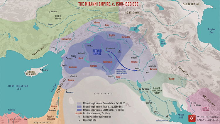
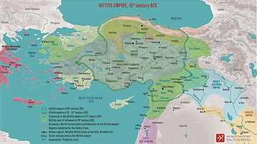
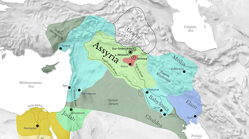
A map illustrating the changing fortunes of the Mitanni Empire, an Indo-Iranian society from northern Mesopotamia with its heartland in the Khabur River region, that, at its height c. 1500 BCE, extended from the Zagros Mountains in the east through Assyria to the Levantine coast of the Mediterranean Sea.
About the Author
Cite This Work
APA Style
Netchev, S. (2021, December 06). The Mitanni Empire, c. 1500-1300 BCE. World History Encyclopedia. Retrieved from https://www.worldhistory.org/image/14946/the-mitanni-empire-c-1500-1300-bce/
Chicago Style
Netchev, Simeon. "The Mitanni Empire, c. 1500-1300 BCE." World History Encyclopedia. Last modified December 06, 2021. https://www.worldhistory.org/image/14946/the-mitanni-empire-c-1500-1300-bce/.
MLA Style
Netchev, Simeon. "The Mitanni Empire, c. 1500-1300 BCE." World History Encyclopedia. World History Encyclopedia, 06 Dec 2021. Web. 10 Apr 2025.

