
Illustration


1598 Map of the Three Arctic Voyages (1594–1596) by Willem Barentsz. Spitsbergen (now Svalbard) is mapped for the first time and indicated as "Het Nieuwe Land" (Dutch for "the New Land"), centre-left.
License & Copyright
 Based on Wikipedia content that has been reviewed, edited, and republished.
Original image by Willem Barentsz.. Uploaded by Kim Martins, published on 08 January 2022. The copyright holder has published this content under the following license: Public Domain. This item is in the public domain, and can be used, copied, and modified without any restrictions. Please note that content linked from this page may have different licensing terms.
Based on Wikipedia content that has been reviewed, edited, and republished.
Original image by Willem Barentsz.. Uploaded by Kim Martins, published on 08 January 2022. The copyright holder has published this content under the following license: Public Domain. This item is in the public domain, and can be used, copied, and modified without any restrictions. Please note that content linked from this page may have different licensing terms.
Related Images
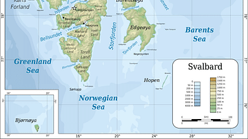
Topographic map of Svalbard
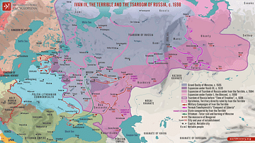
Ivan IV, the Terrible and the Tsardom of Russia, c. 1598
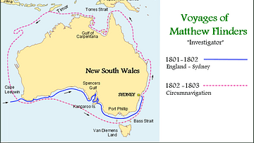
Map of the Voyages of Matthew Flinders in the Investigator
The Four Voyages of Christopher Columbus
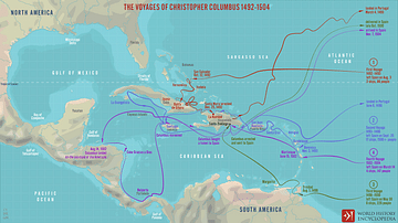
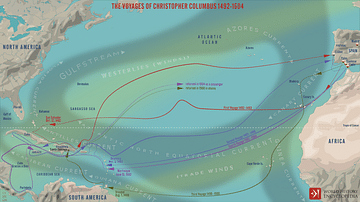
The Voyages of Christopher Columbus 1492-1504

Willem Janszoon's Expedition 1605-1606
Cite This Work
APA Style
Barentsz., W. (2022, January 08). 1598 Map of the Three Arctic Voyages (1594–1596) by Willem Barentsz. World History Encyclopedia. Retrieved from https://www.worldhistory.org/image/15091/1598-map-of-the-three-arctic-voyages-1594-1596-by/
Chicago Style
Barentsz., Willem. "1598 Map of the Three Arctic Voyages (1594–1596) by Willem Barentsz." World History Encyclopedia. Last modified January 08, 2022. https://www.worldhistory.org/image/15091/1598-map-of-the-three-arctic-voyages-1594-1596-by/.
MLA Style
Barentsz., Willem. "1598 Map of the Three Arctic Voyages (1594–1596) by Willem Barentsz." World History Encyclopedia. World History Encyclopedia, 08 Jan 2022, https://www.worldhistory.org/image/15091/1598-map-of-the-three-arctic-voyages-1594-1596-by/. Web. 08 May 2025.