Illustration
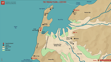
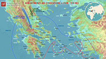
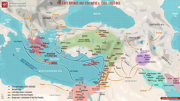
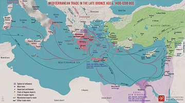
A map illustrating the location of notable towns and the distribution of rulers and heroes as mentioned in Homer's Iliad, retelling the final year of the Achaean (Ancient Greek) War against the city of Troy in western Anatolia. The Trojan War is variously dated sometime between 1135 BCE and 1330 BCE.
About the Author
Cite This Work
APA Style
Netchev, S. (2022, February 11). The World of the Iliad, c. 1200 BCE. World History Encyclopedia. Retrieved from https://www.worldhistory.org/image/15242/the-world-of-the-iliad-c-1200-bce/
Chicago Style
Netchev, Simeon. "The World of the Iliad, c. 1200 BCE." World History Encyclopedia. Last modified February 11, 2022. https://www.worldhistory.org/image/15242/the-world-of-the-iliad-c-1200-bce/.
MLA Style
Netchev, Simeon. "The World of the Iliad, c. 1200 BCE." World History Encyclopedia. World History Encyclopedia, 11 Feb 2022, https://www.worldhistory.org/image/15242/the-world-of-the-iliad-c-1200-bce/. Web. 23 Apr 2025.


