Illustration
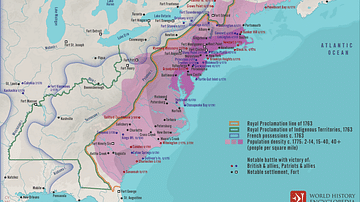
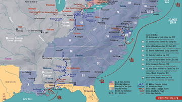
A map depicting the progress of Burgoyne's and St. Leger's armies during the Saratoga Campaign (20 June to 17 October 1777). Created by Wikipedia user Hoodinski, 21 December 2014.
Cite This Work
APA Style
Hoodinski. (2024, February 22). Saratoga Campaign Map. World History Encyclopedia. Retrieved from https://www.worldhistory.org/image/18521/saratoga-campaign-map/
Chicago Style
Hoodinski. "Saratoga Campaign Map." World History Encyclopedia. Last modified February 22, 2024. https://www.worldhistory.org/image/18521/saratoga-campaign-map/.
MLA Style
Hoodinski. "Saratoga Campaign Map." World History Encyclopedia. World History Encyclopedia, 22 Feb 2024. Web. 02 Apr 2025.


