
Illustration


This map illustrates the Roman Levant c. 200 CE, encompassing the provinces of Syria Coele, Syria Phoenice, Judea (renamed Syria Palaestina), and Arabia Petraea. It was a culturally diverse and strategically vital region, serving as a trade gateway between the Mediterranean and the East. Major cities like Antioch, Berytus, Aelia Capitolina (Jerusalem), and Caesarea Maritima were key hubs for commerce, administration, and culture, reflecting a blend of Roman, Greek, Jewish, and local influences. Its ports and overland routes facilitated the exchange of goods, ideas, and people across the Roman Empire and beyond.
About the Author

Related Images
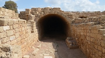
Mithraeum, Caesarea Maritima
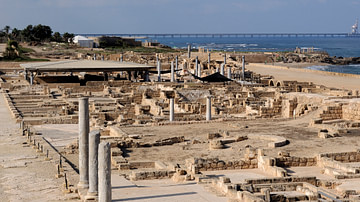
Caesarea Maritima
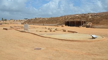
Hippodrome of Caesarea Maritima
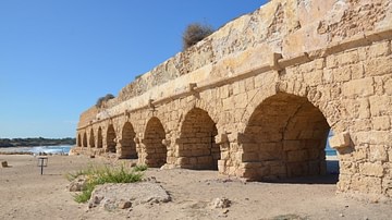
High-Level Aqueduct of Caesarea Maritima
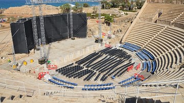
Theater at Caesarea Maritima
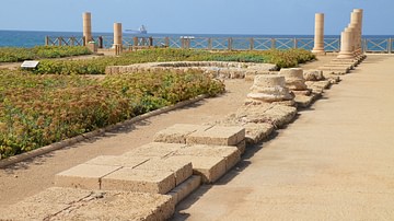
Lower Terrace of the Promontory Palace, Caesarea Maritima
Cite This Work
APA Style
Netchev, S. (2024, December 05). Roman Rule in the Levant, c. 200 CE. World History Encyclopedia. Retrieved from https://www.worldhistory.org/image/19754/roman-rule-in-the-levant-c-200-ce/
Chicago Style
Netchev, Simeon. "Roman Rule in the Levant, c. 200 CE." World History Encyclopedia. Last modified December 05, 2024. https://www.worldhistory.org/image/19754/roman-rule-in-the-levant-c-200-ce/.
MLA Style
Netchev, Simeon. "Roman Rule in the Levant, c. 200 CE." World History Encyclopedia. World History Encyclopedia, 05 Dec 2024. Web. 13 Apr 2025.