
Illustration


This map illustrates the rise and development of the Bosporan Kingdom (c. 480 BCE – 341 CE), an ancient state located around the Bosphorus Kimmerios (Kerch Strait), encompassing parts of the eastern Crimea and the Taman Peninsula. Founded by Greek colonists, it became a prosperous hub for the Black Sea trade, exporting grain, fish, timber, and slaves while importing spices, luxury goods, ceramics, and metals. Governed initially by Greek dynasties, it became a Roman client state in the 1st century BCE, thriving under Roman protection. The kingdom was a cultural crossroads, blending Greek, Scythian, and Sarmatian influences before declining due to nomadic invasions by the Huns and other groups.
About the Author

Related Images

Bosporan Soldier

Chersonesus

Greek and Phoenician Colonization

Greek Earring from Crimea
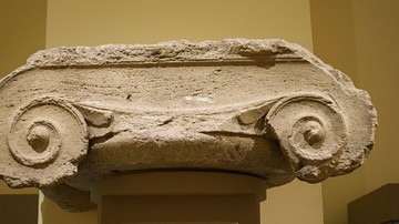
Ionian Capital from Crimea
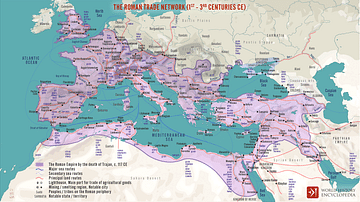
The Roman Trade Network (1st - 3rd centuries CE)
Cite This Work
APA Style
Netchev, S. (2024, December 10). The Bosporan Kingdom, c.100 CE. World History Encyclopedia. Retrieved from https://www.worldhistory.org/image/19765/the-bosporan-kingdom-c100-ce/
Chicago Style
Netchev, Simeon. "The Bosporan Kingdom, c.100 CE." World History Encyclopedia. Last modified December 10, 2024. https://www.worldhistory.org/image/19765/the-bosporan-kingdom-c100-ce/.
MLA Style
Netchev, Simeon. "The Bosporan Kingdom, c.100 CE." World History Encyclopedia. World History Encyclopedia, 10 Dec 2024, https://www.worldhistory.org/image/19765/the-bosporan-kingdom-c100-ce/. Web. 17 Apr 2025.