Illustration
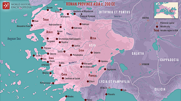
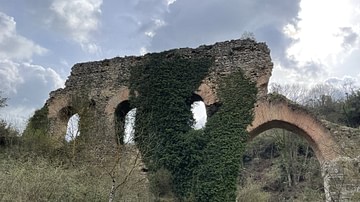
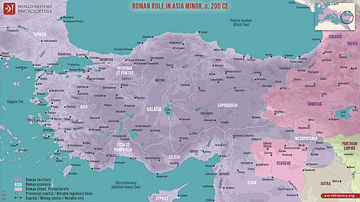
The Roman province of Bithynia et Pontus, established in 63 BCE after the defeat of Mithridates VI of Pontus, was a prosperous and strategically significant region by 200 CE. Located in northern Anatolia along the southern Black Sea coast (modern-day Turkey), the province was known for its fertile lands –producing grain, wine, and timber – and its vibrant Black Sea trade. Key cities such as Nicomedia, Nicaea, and Amisus were major centers of commerce and governance, blending Hellenistic traditions with Roman urban planning and infrastructure, including roads, aqueducts, and amphitheaters.
The province, governed by a Roman proconsul, was deeply integrated into the empire's administrative framework. Its position along key trade routes and its role as a buffer for Rome’s eastern frontier made it a vital part of the Empire.
About the Author
Cite This Work
APA Style
Netchev, S. (2025, January 09). Roman Province Bithynia et Pontus c. 200 CE. World History Encyclopedia. Retrieved from https://www.worldhistory.org/image/19853/roman-province-bithynia-et-pontus-c-200-ce/
Chicago Style
Netchev, Simeon. "Roman Province Bithynia et Pontus c. 200 CE." World History Encyclopedia. Last modified January 09, 2025. https://www.worldhistory.org/image/19853/roman-province-bithynia-et-pontus-c-200-ce/.
MLA Style
Netchev, Simeon. "Roman Province Bithynia et Pontus c. 200 CE." World History Encyclopedia. World History Encyclopedia, 09 Jan 2025, https://www.worldhistory.org/image/19853/roman-province-bithynia-et-pontus-c-200-ce/. Web. 27 Apr 2025.


