
Illustration


Walkway map at the Cherokee Removal Park, Meigs County, Tennessee, USA, depicting the routes of the Cherokee on the Trail of Tears.
License & Copyright
 Based on Wikipedia content that has been reviewed, edited, and republished.
Original image by It's Only Make Believe. Uploaded by Joshua J. Mark, published on 25 February 2025. The copyright holder has published this content under the following license: Creative Commons Attribution-ShareAlike. This license lets others remix, tweak, and build upon a work even for commercial reasons, as long as they credit the author and license their new creations under the identical terms. When republishing on the web a hyperlink back to the original content source URL must be included. Please note that content linked from this page may have different licensing terms.
Based on Wikipedia content that has been reviewed, edited, and republished.
Original image by It's Only Make Believe. Uploaded by Joshua J. Mark, published on 25 February 2025. The copyright holder has published this content under the following license: Creative Commons Attribution-ShareAlike. This license lets others remix, tweak, and build upon a work even for commercial reasons, as long as they credit the author and license their new creations under the identical terms. When republishing on the web a hyperlink back to the original content source URL must be included. Please note that content linked from this page may have different licensing terms.
Related Images
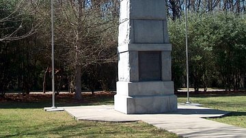
Trail of Tears Memorial at New Echota
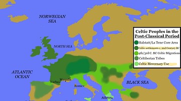
Map of Celtic Peoples in the Post-Classical Period
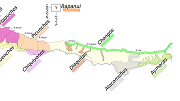
Indigenous Peoples of Chile
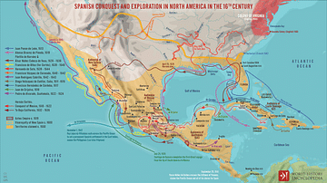
Spanish Conquest & Exploration in North America in the 16th century
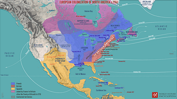
European Colonization of North America c.1750
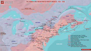
The French and Indian War in North America, 1754 - 1763
Cite This Work
APA Style
Believe, I. O. M. (2025, February 25). Walkway map at the Cherokee Removal Memorial Park. World History Encyclopedia. Retrieved from https://www.worldhistory.org/image/20079/walkway-map-at-the-cherokee-removal-memorial-park/
Chicago Style
Believe, It's Only Make. "Walkway map at the Cherokee Removal Memorial Park." World History Encyclopedia. Last modified February 25, 2025. https://www.worldhistory.org/image/20079/walkway-map-at-the-cherokee-removal-memorial-park/.
MLA Style
Believe, It's Only Make. "Walkway map at the Cherokee Removal Memorial Park." World History Encyclopedia. World History Encyclopedia, 25 Feb 2025. Web. 31 Mar 2025.