
Illustration


A map of the Republic of Colombia (1819-1831), a state that covered much of northern South America after independence from the Spanish Empire, by Agostino Codazzi, 1840. The map depicts the Republic of Colombia divided into 12 administrative departments in 1824.
This historical state is widely refered to as 'Gran Colombia' in order to differentiate it from the current Republic of Colombia, which shares the same name.
David Rumsey Historical Map Collection, Stanford University.
Related Images
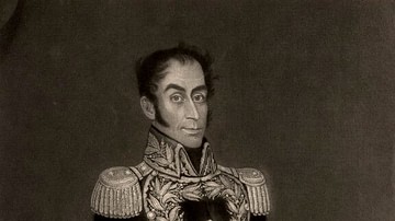
Simón Bolívar
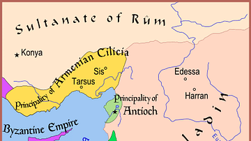
Map of The Latin East, 1190 CE
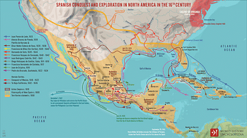
Spanish Conquest & Exploration in North America in the 16th century

Spanish Conquest & Exploration in South America in the 16th Century
American War of Independence, 1775 - 1783
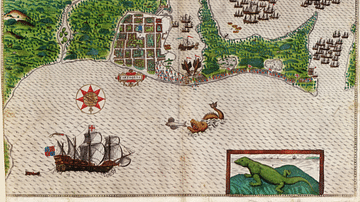
Cartagena on the Spanish Main
Cite This Work
APA Style
Codazzi, A. (2025, February 28). Map of Gran Colombia. World History Encyclopedia. Retrieved from https://www.worldhistory.org/image/20102/map-of-gran-colombia/
Chicago Style
Codazzi, Agostino. "Map of Gran Colombia." World History Encyclopedia. Last modified February 28, 2025. https://www.worldhistory.org/image/20102/map-of-gran-colombia/.
MLA Style
Codazzi, Agostino. "Map of Gran Colombia." World History Encyclopedia. World History Encyclopedia, 28 Feb 2025. Web. 01 Apr 2025.