Illustration
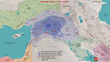
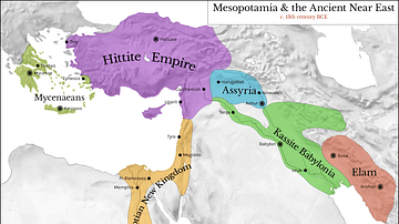
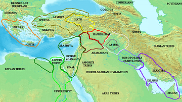
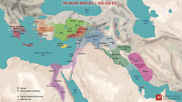
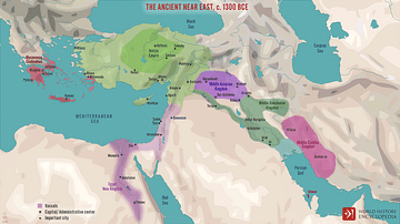
This is a map of Mesopotamia showing the dominant kingdoms of Egypt, Mitanni, Hatti, and Kassite Babylonia.
References
- Edwards (ed) et al. Cambridge Ancient History Vol. II.
Cite This Work
APA Style
Javierfv1212. (2012, April 26). Map of Mesopotamia, c. 1400 BCE. World History Encyclopedia. Retrieved from https://www.worldhistory.org/image/249/map-of-mesopotamia-c-1400-bce/
Chicago Style
Javierfv1212. "Map of Mesopotamia, c. 1400 BCE." World History Encyclopedia. Last modified April 26, 2012. https://www.worldhistory.org/image/249/map-of-mesopotamia-c-1400-bce/.
MLA Style
Javierfv1212. "Map of Mesopotamia, c. 1400 BCE." World History Encyclopedia. World History Encyclopedia, 26 Apr 2012. Web. 14 Apr 2025.


