Illustration
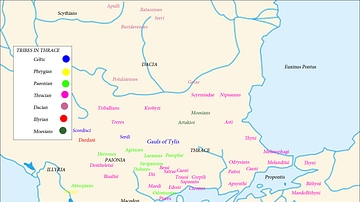
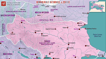
A map showing the expansion of Macedon, around the time of the Peloponnesian War, between 431 - 336 BC.
References
- E. Lévy. La Grèce au Ve siècle. Paris, 1995
- R. Ginouvès and al. La Macédoine. Paris, 1992
Cite This Work
APA Style
Megistias. (2012, April 26). Map of the Expansion of Macedon. World History Encyclopedia. Retrieved from https://www.worldhistory.org/image/330/map-of-the-expansion-of-macedon/
Chicago Style
Megistias. "Map of the Expansion of Macedon." World History Encyclopedia. Last modified April 26, 2012. https://www.worldhistory.org/image/330/map-of-the-expansion-of-macedon/.
MLA Style
Megistias. "Map of the Expansion of Macedon." World History Encyclopedia. World History Encyclopedia, 26 Apr 2012. Web. 31 Mar 2025.

