
Illustration


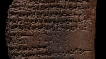
This clay tablet fragment gives detailed measurements for the inner city wall called Imgur-Enlil at the start of Nebuchadnezzar II's reign. It names landmarks including Zababa and Urash gates. Modern surveys show that the figures are realistic. The record is probably a survey conducted for the royal building program. From Sippar or Babylon, Southern Mesopotamia, Iraq. Reign of Nebuchadnezzar, 605-562 BCE. (The British Museum, London)
About the Author

Related Images
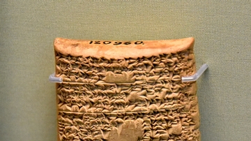
Tablet Describing the Akitu Festival
Tablet Describing Parthian Conquest of Babylonia
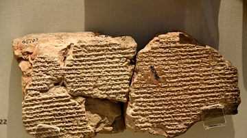
Mesoptamian Tablet Describing Glass Manufacture
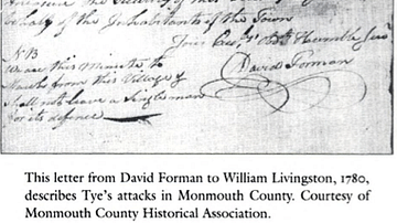
Letter Describing Colonel Tye's Attacks in Monmouth County
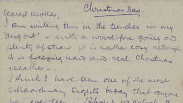
Letter describing the Christmas Truce
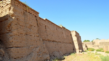
The Inner walls of Babylon
Cite This Work
APA Style
Amin, O. S. M. (2016, April 18). Mesopotamian Tablet Describing the Walls of Babylon. World History Encyclopedia. Retrieved from https://www.worldhistory.org/image/4926/mesopotamian-tablet-describing-the-walls-of-babylo/
Chicago Style
Amin, Osama Shukir Muhammed. "Mesopotamian Tablet Describing the Walls of Babylon." World History Encyclopedia. Last modified April 18, 2016. https://www.worldhistory.org/image/4926/mesopotamian-tablet-describing-the-walls-of-babylo/.
MLA Style
Amin, Osama Shukir Muhammed. "Mesopotamian Tablet Describing the Walls of Babylon." World History Encyclopedia. World History Encyclopedia, 18 Apr 2016. Web. 13 Apr 2025.