Illustration
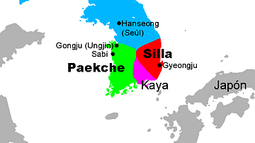
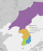
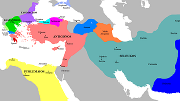
A map showing the three kingdoms (Goguryeo, Silla, and Baekje) and the Gaya confederation which ruled Korea between the 1st and 7th century CE.
References
- http://en.wikipedia.org/wiki/Special:Export/File:History_of_Korea-476.PNG, accessed 19 Mar 2020.
Cite This Work
APA Style
Kamel, A. (2016, September 30). Three Kingdoms of Korea Map. World History Encyclopedia. Retrieved from https://www.worldhistory.org/image/5790/three-kingdoms-of-korea-map/
Chicago Style
Kamel, Ashraf. "Three Kingdoms of Korea Map." World History Encyclopedia. Last modified September 30, 2016. https://www.worldhistory.org/image/5790/three-kingdoms-of-korea-map/.
MLA Style
Kamel, Ashraf. "Three Kingdoms of Korea Map." World History Encyclopedia. World History Encyclopedia, 30 Sep 2016, https://www.worldhistory.org/image/5790/three-kingdoms-of-korea-map/. Web. 17 Apr 2025.

