Illustration
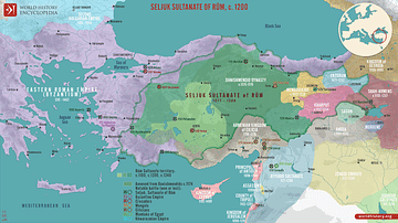
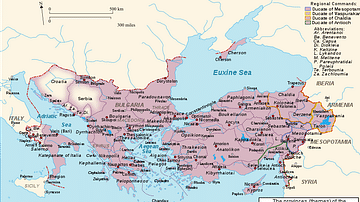
A map indicating the location of the Battle of Manzikert in August 1071 CE. The battle in Armenia was one of the greatest defeats suffered by the Byzantine Empire. The victorious Seljuk army led by the Sultan Alp Arslan famously captured the Byzantine emperor Romanos IV Diogenes.
Cite This Work
APA Style
Bakayna. (2018, February 05). Location Map of the Battle of Manzikert, 1071 CE. World History Encyclopedia. Retrieved from https://www.worldhistory.org/image/8058/location-map-of-the-battle-of-manzikert-1071-ce/
Chicago Style
Bakayna. "Location Map of the Battle of Manzikert, 1071 CE." World History Encyclopedia. Last modified February 05, 2018. https://www.worldhistory.org/image/8058/location-map-of-the-battle-of-manzikert-1071-ce/.
MLA Style
Bakayna. "Location Map of the Battle of Manzikert, 1071 CE." World History Encyclopedia. World History Encyclopedia, 05 Feb 2018. Web. 12 Apr 2025.


