Illustration
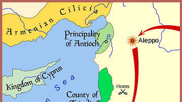
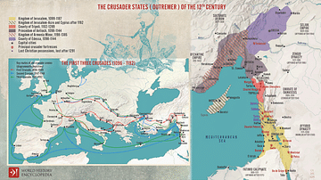
A map indicating (in red) the greatest extent of the Ayyubid Dynasty's empire (1171-1250 CE). Green indicates the areas controlled by the Crusader states (aka Latin East).
Cite This Work
APA Style
League, A. (2018, September 11). Map of the Ayyubid Empire. World History Encyclopedia. Retrieved from https://www.worldhistory.org/image/9203/map-of-the-ayyubid-empire/
Chicago Style
League, Arab. "Map of the Ayyubid Empire." World History Encyclopedia. Last modified September 11, 2018. https://www.worldhistory.org/image/9203/map-of-the-ayyubid-empire/.
MLA Style
League, Arab. "Map of the Ayyubid Empire." World History Encyclopedia. World History Encyclopedia, 11 Sep 2018. Web. 16 Apr 2025.


