
Illustration


Map showing some of the Viking Age (c. 790-1100 CE) trade routes that existed in North-West Europe during this time. Among the places depicted are such major trading centres are Hededy, Ribe, Birka and Kaupang from Viking Scandinavia; York (Viking-occupied until halfway through the 10th century CE) and London in England; the Frankish trading emporium of Quentovic; and places from which trade with southern- and eastern Europe took place, such as Truso and Riga in the Baltic.
License & Copyright
 Based on Wikipedia content that has been reviewed, edited, and republished.
Original image by Brianann MacAmhlaidh. Uploaded by Emma Groeneveld, published on 28 September 2018. The copyright holder has published this content under the following license: Creative Commons Attribution-ShareAlike. This license lets others remix, tweak, and build upon a work even for commercial reasons, as long as they credit the author and license their new creations under the identical terms. When republishing on the web a hyperlink back to the original content source URL must be included. Please note that content linked from this page may have different licensing terms.
Based on Wikipedia content that has been reviewed, edited, and republished.
Original image by Brianann MacAmhlaidh. Uploaded by Emma Groeneveld, published on 28 September 2018. The copyright holder has published this content under the following license: Creative Commons Attribution-ShareAlike. This license lets others remix, tweak, and build upon a work even for commercial reasons, as long as they credit the author and license their new creations under the identical terms. When republishing on the web a hyperlink back to the original content source URL must be included. Please note that content linked from this page may have different licensing terms.
Related Images
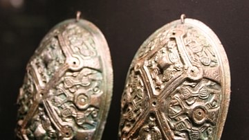
Viking Age Oval Brooches from Hedeby

Reconstructed Viking Houses at Hedeby
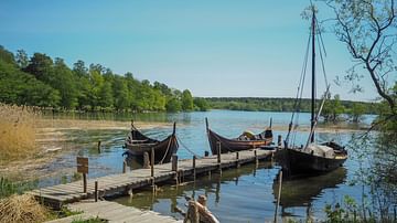
Viking Boats at Birka
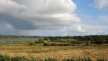
Site of the Viking Town Hedeby
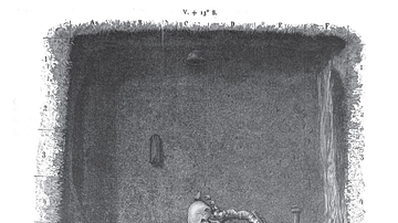
Viking Grave, Birka, Sweden
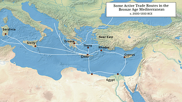
Some Active Trade Routes in the Bronze Age Mediterranean
Cite This Work
APA Style
MacAmhlaidh, B. (2018, September 28). Viking Age Trade Routes in North-West Europe. World History Encyclopedia. Retrieved from https://www.worldhistory.org/image/9284/viking-age-trade-routes-in-north-west-europe/
Chicago Style
MacAmhlaidh, Brianann. "Viking Age Trade Routes in North-West Europe." World History Encyclopedia. Last modified September 28, 2018. https://www.worldhistory.org/image/9284/viking-age-trade-routes-in-north-west-europe/.
MLA Style
MacAmhlaidh, Brianann. "Viking Age Trade Routes in North-West Europe." World History Encyclopedia. World History Encyclopedia, 28 Sep 2018. Web. 13 Apr 2025.