
Search Images
Browse Content (p. 1193)
Image
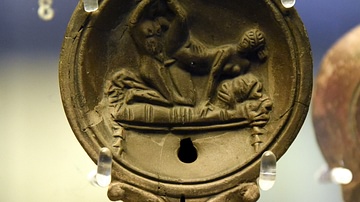
Roman Lamp Showing Lovers in Bed
The scene on this terracotta lamp depicts a man and woman having sex. Said to be from near Naples, in modern-day Italy. Roman period, made in Italy, about 10-30 CE. (The British Museum, London).
Image
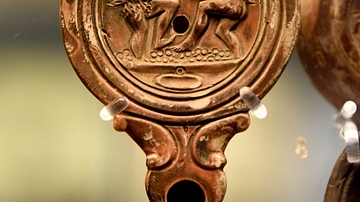
Lamp Showing Satyrs Treading Grapes
The scene on this terracotta lamp depicts two satyrs treading grapes. From Herpes, France. Roman period, made in Italy, about 40-80 CE. Signed by the maker Gaius Clodius.(The British Museum, London).
Image
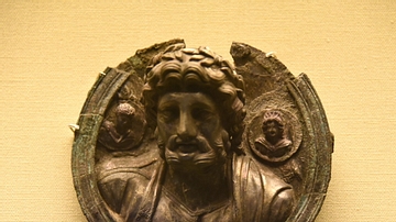
Medallion of Jupiter
Silver medallion showing the god Jupiter flanked by a male and a female deity. The medallion was perhaps one of a group given to a soldier to wear as a commemorative decoration. Roman period, 2nd century CE. (The British...
Image
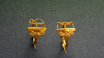
Gold Earrings from Bubastis
A pair of gold earrings. Said to be from Bubastis, in modern-day Egypt. Roman period, 1st to 2nd century CE. (The British Museum, London).

Image
Stitching in the Bayeux Tapestry
Shown here is a detail from the Bayeux Tapestry. Though referred to as a tapestry, it is a linen cloth that features embroidery in eight different-colored wools. 11th century CE.
Image
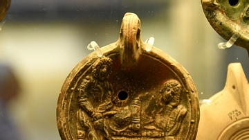
Lamp Showing Two Tragic Actors
The scene on this terracotta lamp depicts two tragic actors (perhaps Orestes and Pylades) on a couch; a severed head lies below. Roman period, made in Italy, about 175-225 CE. Transferred from the Wellcome Collection...
Image
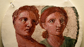
Portrait of a Man and Woman from Pompeii
This medallion comes from the center of a painted panel. The woman's hairstyle suggests a date in the reign of the Roman Emperor Augustus. From Pompeii, in modern-day Italy. Roman period, made about 20 BCE...
Image
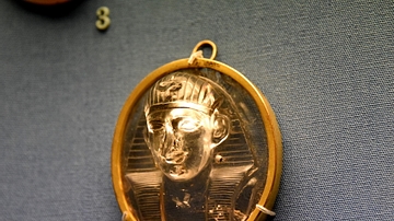
Cameo of an Egyptian King
This rock-crystal cameo depicts a king in an Egyptian style; popular in Italy, where it was probably made. Roman period, 1st century CE. (The British Museum, London).
Image
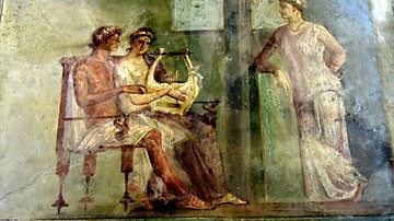
Pompeii Fresco of a Woman Playing a Lyre
This panel, once identified as a music lesson, probably depicts a scene of love, set inside a house. A woman playing a kithara (a type of lyre) sits with her lover who gazes adoringly at her. From Pompeii...
Image
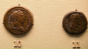
Bronze Drachm and Half-Drachm of Trajan
The bronze drachm of Trajan (r. 98-117 CE) on the left, minted 112-113 CE, represents one of the denominations produced at Alexandria. The half-drachm on the right was minted in 111-112 CE at Alexandria also...
