Search Images
Browse Content (p. 1484)
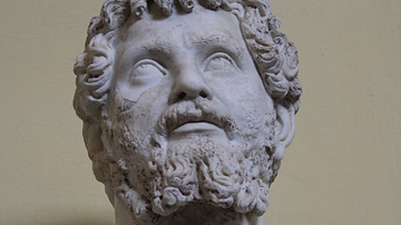
Image
Septimius Severus, Vatican Museums
A bust of Roman emperor Septimius Severus, r. 193-211 CE. (Vatican Museums, Rome)
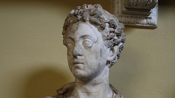
Image
Commodus as a Young Man
A bust of Roman emperor Commodus (r. 180-193 CE) as a young man. From Ostia. (Vatican Museums, Rome)

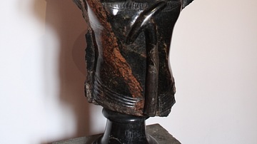
Image
Serapis
A basalt bust of Serapis, the Egyptian-Hellenistic god who was created in the reign of Ptolemy I (304-284 BCE) to create a link between the two cultures and religions of Greece and Egypt. From Rome, 2nd century CE. (Vatican Museums, Rome)
Image
Apis
A granite statue of the Egyptian bull-god Apis. From Memphis, New Kingdom, 1550-1070 BCE. (Vatican Museums, Rome)
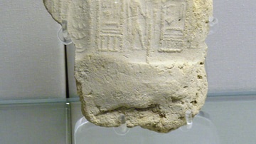
Image
Seal of Peribsen
A seal impression of Peribsen, king in the Second Dynasty of Egypt, c. 2890 to c. 2670 BCE.
British Museum, London.
Image
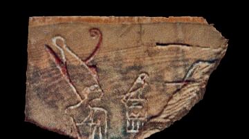
Den
An ivory lable fragment depicting the Egyptian king Den (c. 2990 BCE) who ruled during the First Dynasty. He is the first ruler to be depicted wearing the double crown of Upper and Lower Egypt. Abydos, Umm el Qaab, tomb T, the Tomb of Horus...
Image
Dogen
Chinese philosopher Dogen (1200-1253 CE)
Image
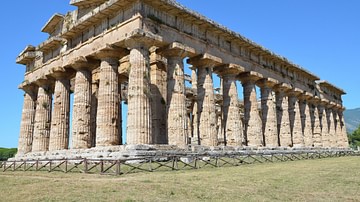
Temple of Hera II, Paestum
The Temple of Hera II at Paestum (Italy), sometimes called the Temple of Neptune or the Temple of Poseidon (misnomers from the 18th century), is an archaic Doric temple constructed ca. 470-460 BCE. The temple is peripteral and hexastyle with...
Image
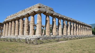
Temple of Hera I, Paestum
The Temple of Hera I at Paestum (Italy), also known as the Basilica, is an archaic Doric temple constructed ca. 550 BCE. The temple is peripteral with 9×18 columns. The temple was a part of a larger enclosed sanctuary to Hera, a Heraion...
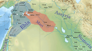
Image
Ebla and Mari during the reign of Iblul-Il of Mari
This map shows Ebla and Mari's territories c. 2380 BCE. The two powers were rivals and allies on and off and together dominated much of modern-day Syria and western Iraq. Iblul-Il of Mari is known to have exacted tribute from Ebla during...