Search Images
Browse Content (p. 149)
Image
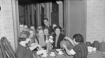
Volunteers Distributing Tea during the London Blitz
A photograph showing tea being distributed by volunteers to air raid shelters during the London Blitz of 1940-1. John Keble Church kitchen. (Imperial War Museums)

Image
Community Air Raid Shelter, London
A photograph taken during the London Blitz of 1940-1 showing the inside of a community air raid shelter built under railway arches. (Imperial War Museums)
Image
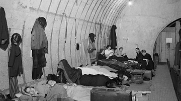
Elephant & Castle Station, the Blitz
A photograph showing civilians sheltering in the Elephant and Castle station of the London Underground during the London Blitz of 1940-1. (Imperial War Museums)
Image
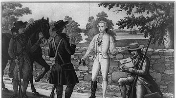
Capture of Major André
The capture of British Major John André, which exposed Benedict Arnold's treason, lithograph by John Paulding, David Williams, and Issac Vanwart, New York, Sowle and Shaw, c. 1845.
Library of Congress, Washington D.C.
Image
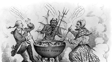
Political Cartoon Depicting Benedict Arnold and Jefferson Davis in Hell
A Proper Family Reunion, American political cartoon showing Satan and Benedict Arnold welcoming Jefferson Davis to Hell. Arnold and Davis were considered two of the most notorious traitors in US history; Arnold, a Patriot general in the American...
Image
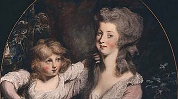
Peggy Shippen and Her Daughter
A portrait of Peggy Shippen, the second wife of Benedict Arnold, with one of their children, oil on canvas by Daniel Gardner, c. 1780s.
Philadelphia History Museum.
Image
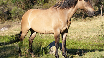
A Dun Horse
A Dun Horse photographed by Javier Prazak from Argentina.

Image
Africa in World War Two
This map illustrates the geopolitical situations and theaters of conflict in Africa during World War II. The continent saw various military campaigns and battles, notably in North and West Africa, Ethiopia, Eritrea, Somalia, and Madagascar...

Image
Quadriga Chariot at Full Speed
This Panathenaic prize amphora shows a quadriga chariot drawn by four horses at full speed, with the white stele (marker) representing the finish line. This vase belongs to a distinctive type given as a prize to the winner of the chariot...

Image
Greek Amphora with a Quadriga
A depiction of a quadriga with a charioteer waiting for the start of the chariot race on an Attic black-figure kylix, dated to 510 BCE.
National Archaeological Museum of Athens.