
Search Images
Browse Content (p. 1492)
Image
MB Canaanite Gate at Tel Gezer
A Middle Bronze Age Canaanite gate at the site of Tel Gezer in modern-day Israel. This gate is believed to have been built—along with other fortifications—by the city's Canaanite inhabitants in the Middle Bronze Age II ca. 1850 BCE when the...
Image
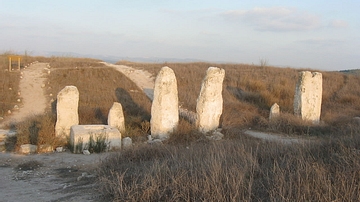
The High Place at Gezer
Standing stones from the so-called "High Place" at Tel Gezer in modern-day Israel. Built in the last stage of the Middle Bronze Age II, the exact purpose of these standing stones is unknown to this day. There have been several hypotheses...
Image
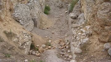
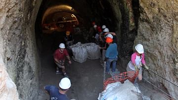
Gezer Water System (Under Excavation)
The entrance to the water system at Tel Gezer in central Israel. This photo was taken during the 2011 excavations of the water system by the New Orleans Baptist Theological Seminary. The water system is believed to have been built during...
Image
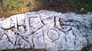
Gezer Boundary Stone
One of the boundary stones from the site of Tel Gezer in modern-day Israel. These stones are believed to have been installed at the site in the Roman-period.
Image
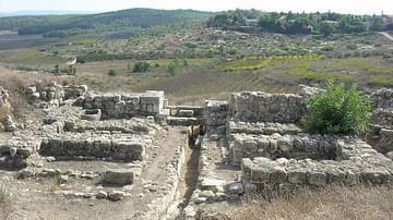
Six-Chambered Gate at Tel Gezer
The six-chambered gate at Tel Gezer in modern-day Israel. This Iron Age gate was once thought built by King Solomon, however recent scholarship has cast doubt on this idea, with some scientific evidence pointing to a later date of construction...
Image
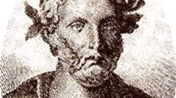
Plautus
A portrait illustration of the Roman Comedy writer Plautus, active in the 2nd and 1st centuries BCE.
Image
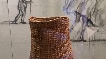
Aboriginal Australian Basket
An example of an oval basket used by the Aboriginal people of Yarra, Victoria, Australia. No date is recorded for the collection or creation of this item. In the Woi wurrung language this basket is called beenak beelang (woven basket). The...
Image
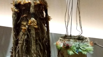
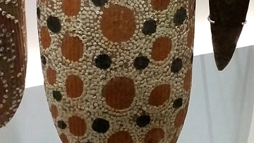
Aboriginal Australian Bathi Minydjalpi - Basket
This basket is a ceremonial basket of the Aboriginal people of Arnhem Bay, Northern Territory, Australia. This particular basket on display was created in 1942 CE and was loaned to Museum Victoria in March of that year. The Aboriginal language...
Image
Aboriginal Australian Alkwerte - Shield
Collected by Museum Victoria in the 1950's from the Arrente clan/language group of Alice Springs, Northern Territory. An Alkwerte was used for a range of purposes: as a shield, to help create fire and in ceremonial performances. These shields...

Image
Licinius
A gold aureus depicting Roman emperor (East) Licinius, r. 308-24 CE