Search Images
Browse Content (p. 1521)
Image
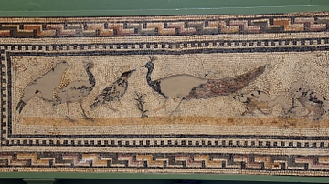
Peacock Mosaic, Utica
This mosaic wall shows a variety of birds, including a peacock within a meander border. From Utica, modern-day Tunisia. First half of the 3rd century CE. (The British Museum, London)
Image
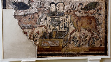
Deer Mosaic, Carthage
Tame deer drinking from an ornate fountain; this scene became popular in Early Christian art as symbolizing the fountain of life. From Carthage, modern-day Tunisia. 4th or 5th century CE. (The British Museum, London)
Image
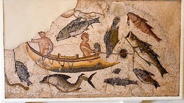
Fishing Mosaic, Utica
A fragment of a floor mosaic depicting a fishing scene. From Utica, modern-day Tunisia. Late 3rd or 4th century CE. (The British Museum, London)
Image
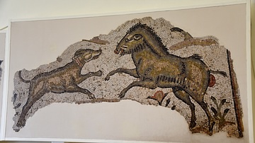
Hunting Mosaic, Carthage
This is part of a hunting scene from a pavement showing a boar confronting a hunting dog. The pavement is one of a common North African type, depicting a favourite pastime of wealthy landowners. From Carthage, modern-day Tunisia. Late 5th...

Image
Greek Diplomatic Delegation
An artist's impression of what a Greek diplomatic delegation may have looked like.

Image
Carthaginian Government
An artist's impression of what a scene from Carthaginian or Near Eastern government may have looked like.
Image
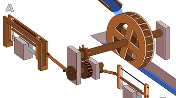
Roman Sawmill
An illustration of the Roman sawmill at Hieropolis. 3rd century CE.
Image
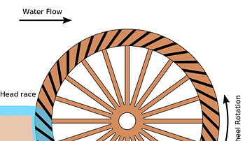
Breastshot Waterwheel
An illustration of a breastshot waterwheel, used, for example, by the Romans to power mills for grinding grain.
Image
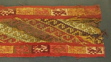
Textile Fragment, Pachacamac
A textile fragment from a tomb at the sacred Andean site of Pachacamac, south of Lima. (Historisches Museum Bern, Switzerland)
Image
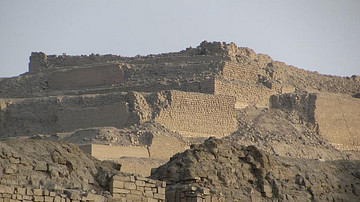
Temple of the Sun, Pachacamac
The ruins of the huge adobe-brick platforms of the Temple of the Sun at the sacred Andean site of Pachacamac, south of Lima. The site was sacred to the creator god Pachacamac and hosted an oracle which was consulted by Andeans for two millennium...