
Search Images
Browse Content (p. 167)

Image
Giant's Causeway, County Antrim, Northern Ireland
Giant's Causeway, County Antrim, Northern Ireland. According to legend, the basalt columns were erected by the great hero and giant Finn MacCool across the North Channel between Ireland and Scotland so he could meet a Scottish giant in single...
Image
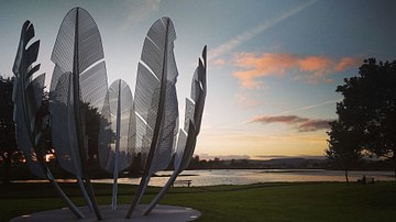
Kindred Spirits Sculpture, County Cork, Ireland
The Kindred Spirits sculpture in the town of Midleton, County Cork, Ireland. The sculpture was unveiled in June 2017 and celebrates the "kindred spirits" of the people of Ireland and the North American Native Choctaw Nation, who, in 1847...
Image
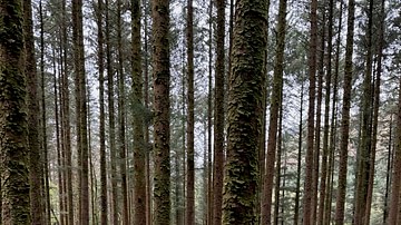
Gaugane Barra National Forest Park, County Cork, Ireland
Trees in Gaugane Barra National Forest Park, County Cork, Ireland.
Image
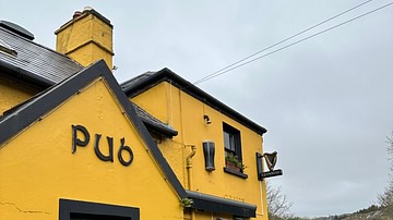
The Blind Piper Pub, County Kerry, Ireland
The Blind Piper Pub in Cathair Donall (Caherdaniel), County Kerry, Ireland. A very popular local pub.
Image
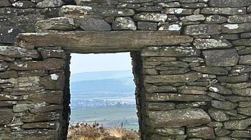
View from Grianan of Aileach, County Donegal, Ireland
View from the doorway of the 6th-century ringfort, Grianan of Aileach (Grianán Ailigh) on Greenan Mountain at Inishowen, County Donegal, Ireland.
Image
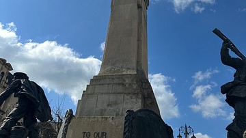
War Memorial, Derry, Northern Ireland
Memorial to those who died in World War I and World War II, Derry, Northern Ireland.
Image
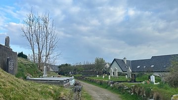
Donegal Abbey Cemetery, County Donegal, Ireland
The Donegal Abbey Cemetery near Donegal bay, County Donegal, Ireland.
Image
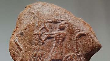
Seal Impression of a Median Archer from Western Iran
Seal impression from Nushi Jan Castle Complex, c. 650 BCE. National Museum of Iran, Tehran, inv. no. 13145. Median art has few remaining examples and almost none that seem free from the impacts of its regional predecessors and contemporaries...
Image
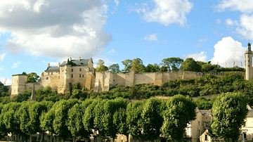
Château de Chinon
Château de Chinon, Indre-et-Loire, France. The promontory on which the royal fortress of Chinon stands has been used for thousands of years. Gradually, the fortress was divided into three distinct parts, which the kings called their "three...
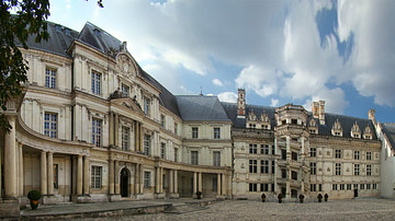
Image
Château de Blois
Château de Blois, Loir-et-Cher, France. A unique example of the development of French architecture from the 13th to the 17th centuries, the Château de Blois has been a listed historic monument since 1845. The château has been associated with...