Search Images
Browse Content (p. 1703)

Image
Emperor Hadrian, Troy
Statue of Emperor Hadrian, 117-138 CE (Roman period), found at Troy, now in Canakkale Archaeological Museum, Canakkale, Turkey
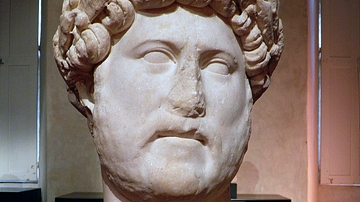
Image
Marble Head of Hadrian With Laurel Wreath
Mixed portraiture type: Baiae & Imperatori 32. From c. 128 CE (Carthage) The photograph was taken during the exhibition “L’image et le pouvoir. Le siècle des Antonins” (Image and power. The age of the Antonines) at the Musée Saint-Raymond...
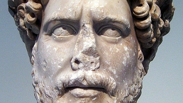
Image
Portrait of Hadrian found in Athens
Marble, colossal portrait head of the emperor Hadrian (117-138 CE), found in Athens. From the Imperatori 32 portrait sculptural type. (National Archaeological Museum, Athens).

Image
Colossal Marble Head of Hadrian from Sagalassos
The head of the colossal marble statue of Hadrian was found at the Sagalassos Roman Baths complex in 2007 and is now exhibited at the Burdur Museum.
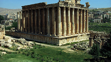
Image
Temple of Baachus, Baalbek
The temple of Baachus at Baalbek (Modern Lebanon), ca. 150 CE.
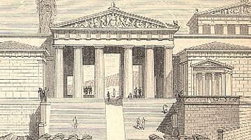
Image
Athenian Propylaea Reconstruction
An illustration of the Propylaea or monumental gateway of the Athenian acropolis, 5th century BCE.
Image
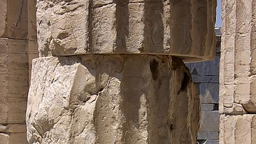
Column Flutes, Propylaea
Fluted column drums from the Propylaea of the Athenian acropolis, 5th century BCE.
Image
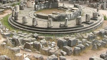
Tholos of Delphi
The Tholos temple of Delphi, c. 580 BCE and originally with 20 columns.
Image
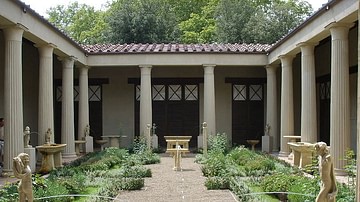
Peristyle
A reconstruction of the peristyle from the house of the Vetti, Pompeii.

Image
Pronaos
A diagram illustrating the pronaos of a temple - the space between the outer columns and entrance of a Classical temple.