Search Images
Browse Content (p. 1705)
Image
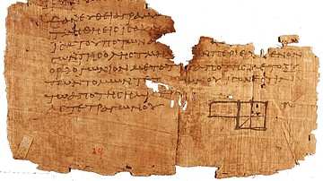
Fragment of Euclid's Elements
A fragment of the second book of the Elements of Euclid in Greek, discovered in 1897 at Oxyrhynchus, Egypt.
Image
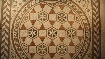
Roman Geometric Mosaic
A Roman floor mosaic in geometric design dating to the late 1st century CE. From a villa near Guido Castle, near Rome. (Palazzo Massimo, Rome).
Image
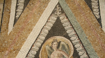
Nike, Roman Mosaic
A Roman floor mosaic dating to the 1st century BCE and depicting Nike. From a Roman villa near via Ruffinella, Rome. (Palazzo Massimo, Rome).
Image
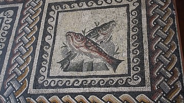
Fish, Roman Mosaic
A Roman floor mosaic dating to between 350 and 375 CE and depicting fish. Food was a popular subject in mosiacs throughout the Roman period. Provenance: Toragnola, Rome. (Vatican Museums, Rome).

Image
Dionysos, Roman Mosaic
A Roman floor mosaic dating to the 4th century CE and depicting Dionysos fighting Indians. Dionysos was a very popular subject in Roman mosaics. Provenance: Villa Ruffinella, Rome. (Palazzo Massimo, Rome).
Image
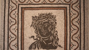
Season, Roman Mosaic
A Roman floor mosaic dating to the 3rd century CE and depicting one of the four Seasons. Black and white mosaics were very popular throughout the Roman period in Italy. Provenance: via Prenestina, Rome. (Palazzo Massimo, Rome)
![Circus Maximus [Present Day]](https://www.worldhistory.org/img/c/p/360x202/1276.jpg?v=1718938028)
Image
Circus Maximus [Present Day]
The view of Rome's Circus Maximus in the present day. The original circus lies 9 m below ground level and was first laid out in the 6th century BCE. The present site was remodelled in the 1930s CE to resemble the original.
Image
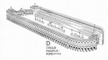
Circus Maximus Reconstruction
An illustration of what the Circus Maximus chariot track of Rome might have looked like. The Circus Maximus dates back to the 6th century BCE but was at its most splendid in the 1st century CE when it had a capacity for 250,000 spectators...
Image
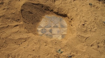
Nubian Floor Tiles
Floor tiles of building that once stood in the Royal City of Meroe which was sacked in 350 CE by Emperor Ezana of the Kingdom of Aksum. The sand has helped preserve the tiles in good condition. These tiles must of been constructed and placed...
Image
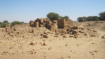
Original Site Of The Meroe Head
This photo shows the location where the 'Meroe Head', being the head section of a statue of Augustus Caesar, was found by British Professor, John Garstang in 1910 CE. The head was located below the steps of the entrance of the temple in the...