Search Images
Browse Content (p. 1705)
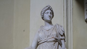
Image
Hygieia, Vatican Museums
A Roman statue of unknown date depicting Hygieia, the goddess of Health. Believed to be a copy of a 2nd century BCE original. (Vatican Museums, Rome).
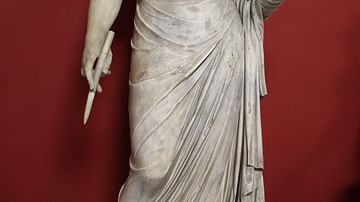
Image
Urania
A sculpture of Urania, the Muse of Astronomy. Originally the statue was of Persephone but recarved and with a head addded taken from a 2nd century CE statue of another Muse. (Vatican Museums, Rome).

Image
Melpomene
A 1st century CE Roman sculpture of Melpomene, the Muse of tragedy. She holds a sword and the tragic mask of Hercules. (Vatican Museums, Rome).
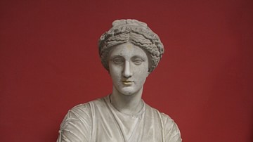
Image
Clio
A Roman sculpture of unknown date depicting Clio the Muse of history. (Vatican Museums, Rome).

Image
Erato
A 1st century CE Roman sculpture of Erato, the Muse of lyric poetry, playing the lyre. (Vatican Museums, Rome).
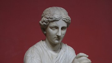
Image
Calliope
A Roman 2nd century CE sculpture of Calliope, the Muse of epic poetry. The sculpture is a copy of a 2nd century BCE Hellenistic sculpture which was itself a copy of a 4th century BCE Greek original. (Vatican Museums, Rome).
Image
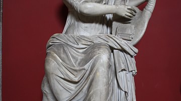
Terpsichore
A Roman sculpture of Terpsichore, the Muse of Dance, playing a lyre, 1st century CE. (Vatican Museums, Rome).
Image
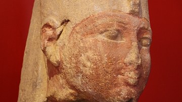
Mentuhotep II Head
Limestone head of Egyptian pharaoh Mentuhotep II, 11th Dynasty 2061-2010 BCE. The head comes from a column of the mortuary temple Deir el-Bahari at Thebes West. Mentuhotep II was the Theban king who ruled for half a century and reunified...
Image
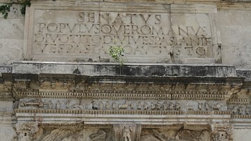
Inscription, Arch of Titus
The inscription from the Triumphal Arch of Titus, erected in the Roman Forum in c. 81 CE by Domitian to commemorate his brother Titus' campaigns in the Jewish War (70-71 CE). It reads: The Senate and People of Rome, to Divus Titus, son of...
Image
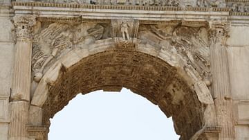
Victories, Arch of Titus
A detail from the Triumphal Arch of Titus, erected in c. 81 CE by Domitian to commemorate his brother Titus' campaigns in the Jewish War (70-71 CE). The top frieze is a victory procession whilst below two winged Victories stand on a globe...