Search Images
Browse Content (p. 1717)
Image
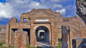
Horrea Epagathiana, Ostia
The main entrance of the 2nd century CE Horrea Epagathiana, Ostia. Horrea were used to store huge quantities of foodstuffs such as grain, however, the large number of locks found at the site suggest this particular building was used to store...
Image
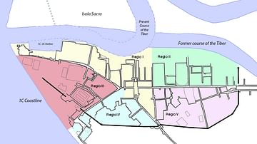
Ostia
A map of Ostia Antica, the ancient port of Rome, at the mouth of the Tiber River.
Image
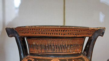
Attic Column-Krater
An Attic column-krater, 470-460 BCE, depicting Jason about to take the Golden Fleece (left side). (Metropolitan Museum of Art, New York).
Image
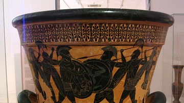
Attic Calyx-Krater
A black-figure Calyx-Krater from Attica, c. 530 BCE. The scene is probably the battle over Partoklos' body during the Trojan War. The figures wear the full hoplite panoply. (National Archaeological Museum, Athens)
Image
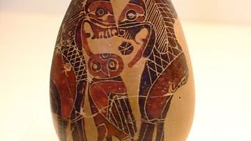
Corinthian Alabastron Vase
A Corinthian alabastron vase depicting two lions and an owl, 595-500 BCE. These vessels were used for storing perfumes and fine oils. (Getty Villa, Malibu)
Image
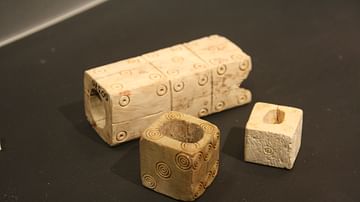
Roman Dice
Roman dice in bone and ivory. The larger, triple dice is an unfinshed work. Roman Imperial period. (Palazzo Massimo, Rome)
Image
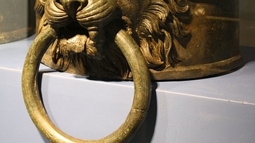
Roman Rudder Decoration
An early 1st century CE bronze lion, a typical decoration used to crown the rudder shaft of Roman warships. (Palazzo Massimo, Rome).
Image
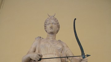
Artemis
A 2nd century CE Roman statue of the Greek goddess of hunting Artemis. The statue is a copy from a mid-4th century BCE Greek original. Weapons in bronze were commonly added to marble sculpture, such as the bow here. (The Vatican Museums...
Image
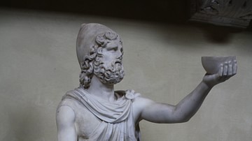
Odysseus
A 2nd century CE Roman statuette of the Greek hero Odysseus. Here he holds a cup of wine in offering to the Cyclops Polyphemus. By getting him drunk the hero was able to blind Polyphemus and escape from the Cyclops' cave to continue his voyage...

Image
Saints Peter and Paul, from a Catacomb Etching
St. Peter and St. Paul etching containing a Chi-Rho