Search Images
Browse Content (p. 1721)
Image
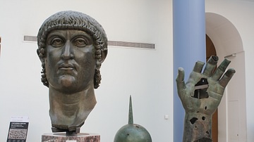
Constantine I Colossus
The head, hand and sphere (symbol of power) from the colossal bronze statue of Constantine I, 4th century CE. The head alone is 1.77 m high. (Capitoline Museums, Rome).
Image
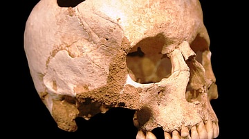
Skull with Trephination
A Neolithic (3500 BCE) skull showing evidence of a trephination operation - the removal of a part of the cranium to relieve pressure, used as a medical treatment for a variety of ailments from migraines to mental illness. The treatment was...
Image
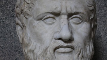
Plato
Bust of the Greek philosopher Plato, mid-1st century CE copy from a 4th century BCE original statue by Silanion. (Vatican Museums, Rome).
Image
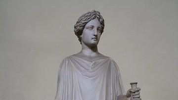
Greek Peplos Dress
A Roman period statue of possibly Kore-Persephone, the daughter of Demeter. The head in fact is restored after a head of Apollo. She is sculpted in the style of 5th century BCE Greek statues and is wearing a peplum, a common type of Greek...
Image
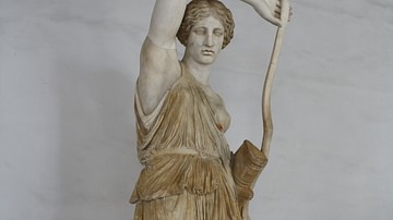
Wounded Amazon
A marble statue of a wounded Amazon. From an original by 5th century BCE Greek sculptor Phidias. Head: replica of that of the Amazon by Polykleitos. Provenance: Villa d'Este, Tivoli. (Capitoline Museums, Palazzo Nuovo, Rome)
Image
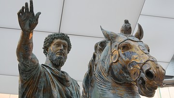
Marcus Aurelius Equestrian Statue
A bronze gilded statue of Roman emperor Marcus Aurelius, larger-than-lifesize and most probably erected in 176 CE and placed in Rome, perhaps in the Forum. (Capitoline Museums, Palazzo dei Conservatori, Rome).
Image
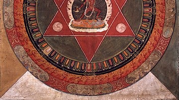
Tibetan Star Mandala
A 19th century CE Tibetan mandala, a tool used in some Buddhist schools and also in Hindu and Jain tradition. Mandalas are ritual images designed to facilitate different psychophysical practices such as meditation.
Image
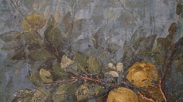
Fresco, Livia's Villa, Rome
A detail of the garden fresco from the winter triclinium (dining room) from the Villa of Livia, wife of Augustus, Rome. The life-size representations of trees, flowers, fruit and birds decorate all four walls of the room to create a continuous...
Image
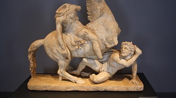
Amazon and Barbarian
Roman sculpture in pentellic marble. An amazon rider is about to deal the fatal blow to a barbarian. This marble sculpture is influenced by the 2nd century BCE Pergamene school of sculpture and itself dates from the mid-2nd century CE. Provenance...
Image
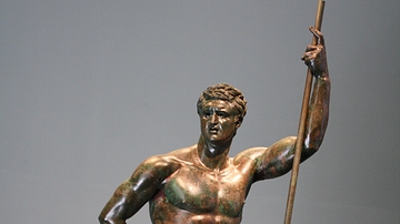
The Hellenistic Prince
The 2nd century BCE bronze statue known as 'The Hellenistic Prince'. The statue perhaps represents Attalus II, king of Pergamon. The head may also be a portrait of an unknown wealthy Roman, eager to appear as a Hellenistic prince. The work...