Search Images
Browse Content (p. 1723)
Image
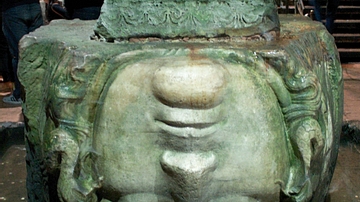
Basilica Cistern, Constantinople
One of two monumental Medusa carvings which hold up columns in the Basilica Cistern of Istanbul (formerly Constantinople). The cistern was constructed in the 6th century BCE reusing the Medusa blocks from an earlier Roman building. One Medusa...
Image
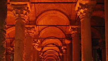
Binbirderek Cistern, Constantinople
Part of the Binbirderek cistern or Cistern of Philoxenos under Istanbul (formerly Constantinople) first built in 330 CE to hold the city's water reserves which were fed by conduits and aqueducts.
Image
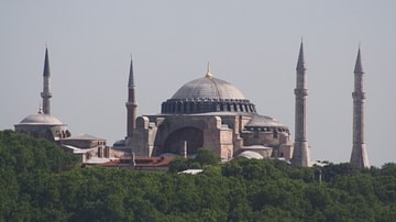
Hagia Sophia Panorama
The former cathedral and mosque Hagia Sophia, Istanbul (formerly Constantinople). Although some historians disagree (claiming Constantine laid the foundation), Constantius II is credited with building the first of three Hagia Sophias, the...
Image
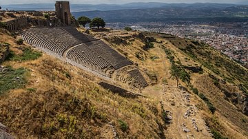
Theatre of Pergamon
The unusually steep cavea of the 2nd century BCE theatre in the Hellenistic city of Pergamon (modern Turkey).
Image
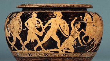
Attic Red-Figure Dinos
An Attic red-figure dinos bowl decorated with scenes of Theseus fighting the Amazon Andromache, 440-430 BCE. Dinoi were used for mixing wine with water. (The British Museum, London).
Image
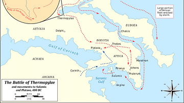
Battle of Thermopylae 480 BCE
A map indicating the location and military positions taken in the Battle of Thermopylae in 480 BCE between the Persian invading forces of Xerxes I against a small Greek force led by Spartan king Leonidas. Defending the pass for three days...
Image
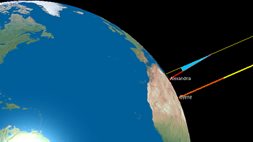
Eratosthenes' Calculation of the Earth's Circumference
An illustration showing Greek scientist Eratosthenes' method for calculating the circumference of the Earth. By measuring the angle of a shadow in one location (Alexandria) and comparing at the same time with a second point (Syene) where...

Image
Astragalos
An Attic astragalos clay vessel depicting possibly Aelous directing the dance of the clouds, 470-450 BCE. These vessels took the form of a knucklebone (hence their name) and were possibly used to also store sheep knucklebones which were used...
Image
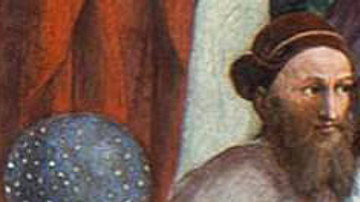
Hipparchus of Nicea by Raphael
A detail from Raphael's 'The School of Athens' (c. 1509 CE) showing Greek astronomer, mathematician and geographer Hipparchus of Nicea (c. 190-120 BCE).
Image
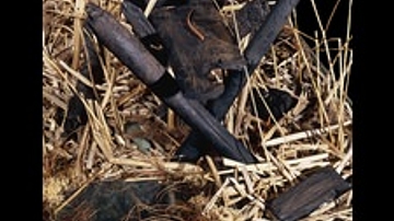
Section of the Sweet Track
Section of the "Sweet Track" walkway now in the British Museum.
From England - 3807/3806 BCE