Search Images
Browse Content (p. 1724)
Image
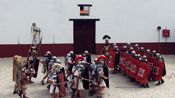
Roman Army Reenactment
Romans in Archeon; to the left Legio II Augusta, to the right Legio XXX Ulpia Victrix.
Image
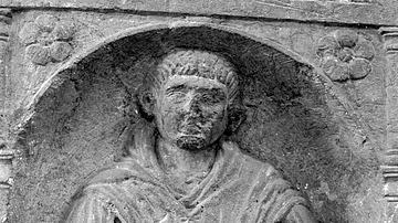
Half-figure tombstone of Gaius Largennius
Half-figure tombstone of Gaius Largennius of legio II Augusta from Strasbourg. General view of half-figure relief.
Inv. Nr. 2431; Éspérandieu 5495
H: 1.48m; W: 0.655m; Th: 0.21m
Image
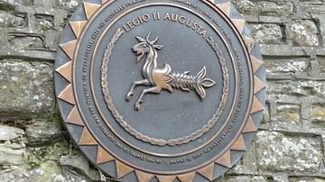
Legio II Augusta Plaque
Modern plaque showing the Capricornus emblem of the II Augusta.
Image
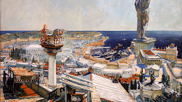
Ancient Rhodes by Frantisek Kupka
An oil painting representing the ancient city of Rhodes by Frantisek Kupka (1906 CE). Probably a realistic representation of the Colossus of Rhodes which was a gigantic bronze statue, 32 metres high, of the island's patron god Helios, the...
Image
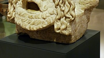
Tragedy Theatre Mask
A stone version of a mask from tragedy theatre representing a king, 1st century BCE - 1st century CE. (Ashmolean museum, Oxford, U.K.).
Image
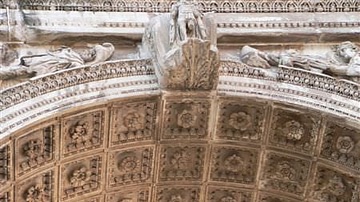
Arch Intrados
The intrados or inner surface of the principal arch of the Triumphal Arch of Septimius Severus built in 203 CE.
Image
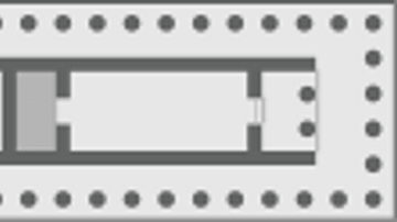
Adyton
The shaded area illustrates the position of the adyton, the most sacred inner part of a temple, usually at the end of the cella furthest from the entrance, often with restricted access to the initiated or priests.
Image
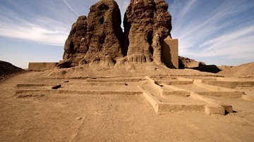
Western Deffufa Temple, Kerma
The mud brick temple of Western Deffufa, Kerma (modern day Sudan), Middle Kerma Period ('Kerma Moyen') c. 2050-1750 BCE equating to the 11-13 dynasties of Middle Kingdom Egypt.
Image
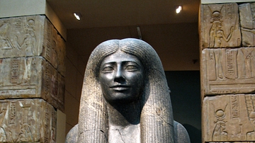
Lady Sennuwy, Kerma
A black granite statue of Lady Sennuwy, the wife of a powerful provincial governor, Djefaihapi of Asyut. From Kerma (Sudan), Egyptian, Middle Kingdom, Dynasty 12, reign of Senwosret I, 1971–1926 BCE.
Image
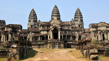
Angkor Wat, Cambodia
The Hindu temple complex of Angkor Wat built from 1122 CE under Suryavarman II of the Khmer Empire.