Search Images
Browse Content (p. 1739)
Image
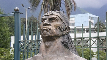
Inca General Ruminahui
Sculpture of Inca General Ruminahui (1490-1535 CE) in Quito, Ecuador.

Image
Francisco Pizarro
Francisco Pizarro (1475-1541 CE)

Image
Herakles fighting Triton
Attic Hydria depicting Herakles fighting Triton, from Vulci, around 520 BCE. (Altes Museum, Berlin)
Image
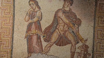
Hercules Furens Mosaic
Mosaic panel depicting the madness of Heracles (Hercules furens), from the Villa Torre de Palma near Monforte, 3rd-4th century CE (National Archaeology Museum of Lisbon, Portugal). When Hercules grew up and had become a great warrior, he...
Image
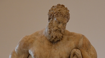
Farnese Hercules
The Farnese Hercules is an ancient sculpture, probably an enlarged copy made in the early 3rd century CE and signed by a certain Glykon, from an original by Lysippos (or one of his circle) that would have been made in the fourth century BCE...
Image
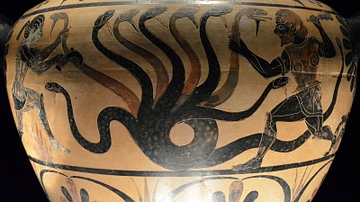
Herakles & the Lernaean Hydra
Hydria (ceramic water container) depicting Heracles killing the Lernaean Hydra (an ancient serpent-like water monster), from Etruria, attributed to the Painter of Aquila, 530-500 BCE. (photo taken at the Monsters. Fantastic Creatures of Fear...
Image
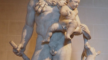
Hercules and Telephus
Hercules and his son Telephus, 1st–2nd century CE, discovered in Tivoli (east of Rome), Italy. (Louvre Museum) This Roman copy appears to be based on a type of Hercules attested in Greek sculpture as early as the second half of the 4th century...
Image
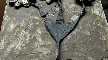
Partial Headdress
This headdress was made of silver and inlaid with gold, lapis lazuli, and other precious stones. It was found in one of the royal cemeteries at Ur and belonged to one of queen/princess Pu'Abi's female attendants. Early dynastic period, c...
Image
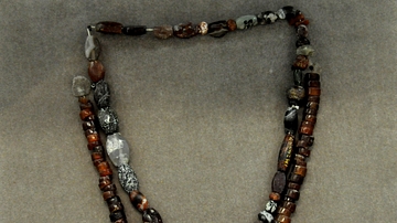
Necklaces from Uruk Period
These two necklaces were made of red agate and were found inside a grave that dates back to the Uruk period, 4000-3100 BCE, Mesopotamia, Iraq. (The Sulaimaniya Museum, Iraq).
Image
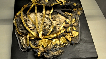
Crushed Skull and Headdress from Ur
This crushed skull and its surrounding elaborate headdress was excavated (en bloc) from one of the royal cemeteries at Ur, the Great Death-Pit. This is a head of one of queen/princess Pu'Abi's female attendants. Early dynastic period, circa...